


15.1 km | 21 km-effort

User


FREE GPS app for hiking
 SityTrail
IGN / Geographical institutes
SityTrail World
The world is yours!
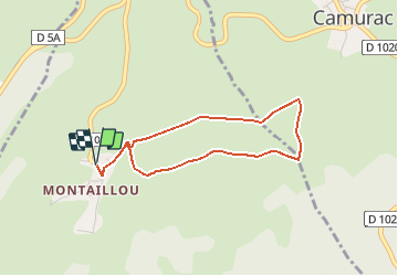
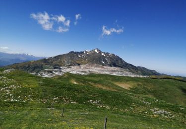
Trail Mountain bike of 3.6 km to be discovered at Occitania, Ariège, Montaillou. This trail is proposed by tracegps.
Espace VTT - FFC Vallées d’Ax Circuit officiel labellisé par la Fédération Française de Cyclisme. Au départ du petit village de Montaillou surplombé par les ruines de son château cathare, vous pourrez vous balader facilement et en toute tranquillité à travers les champs du pays d'Aillou, avant de vous tester sur la montée située en fin de parcours. La Communauté de Communes se dégage de toute responsabilité concernant l'utilisation de parcours non balisés. Pour toute remarque sur le site VTT-FFC , adressez-vous à la Communauté de Communes des Vallées d'Ax au : cdcvalleesdax.montagne@wanadoo.fr

Walking
Walking

Snowshoes
Walking
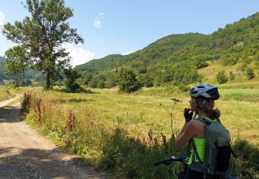
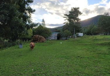
Mountain bike
Walking
Walking