


14.7 km | 26 km-effort

User


FREE GPS app for hiking
 SityTrail
IGN / Geographical institutes
SityTrail World
The world is yours!
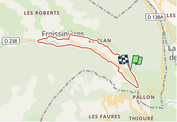
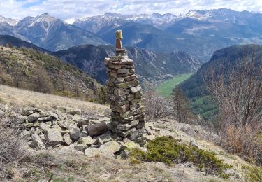
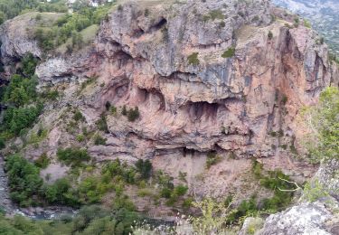
Trail Mountain bike of 7.1 km to be discovered at Provence-Alpes-Côte d'Azur, Hautes-Alpes, Freissinières. This trail is proposed by tracegps.
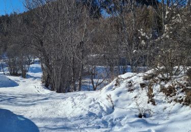
Espace VTT FFC Pays des Ecrins Circuit labellisé par la Fédération Française de Cyclisme. Espace VTT FFC Pays des Ecrins – Circuit n°08 - La Plaine de Freissinières Idéal pour commencer, ce circuit comprend peu de passages techniques, mais permet une belle balade dans une vallée de haute montagne, à plus de 1100m d’altitude. Le plaisir du pilotage, vous le trouverez en roulant dans un environnement d’exception, sur piste forestière et à travers les hameaux. Téléchargez le Topo Guide des circuits VTT FFC du Pays des Ecrins.


Walking
Walking

Walking
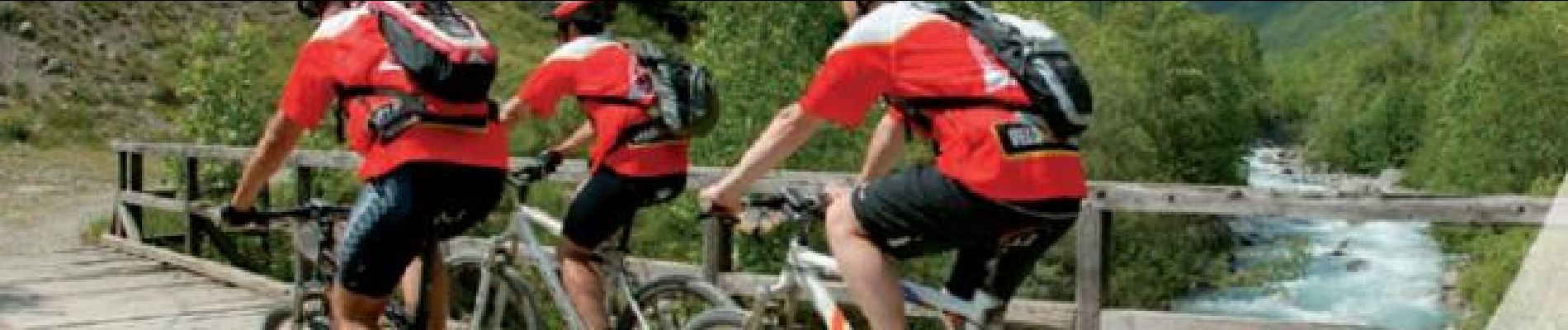
Mountain bike
Touring skiing
Walking
Walking
Walking
Walking