


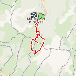

15.3 km | 31 km-effort


User


FREE GPS app for hiking
 SityTrail
IGN / Geographical institutes
SityTrail World
The world is yours!
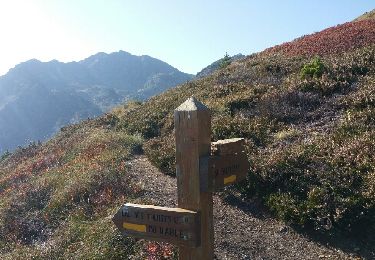
Trail Walking of 11.3 km to be discovered at Occitania, Ariège, Montferrier. This trail is proposed by jopost.
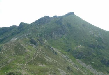
depuis les Monts d'Olmes, nous sommes montés vers le Galinat en hors-pistes au plus pentu, en suivant un espèce de chemin de la gaine électrique enfouie pour le relais. Après le Galinat, nous avons essayé d'aborder le pic Sans Nom mais trop dangereux donc retour avant Cadène et descente vers l'étang d'Appy puis circuit normal par le col de l'étang d'Appy pour rejoindre le parking.

Walking
Snowshoes

Walking
Walking
Walking
Walking
Walking
Walking
Walking