Trail Walking Otranto - Otranto Italie  - Photo

Otranto Italie

© OpenStreetMap contributors
Length
Length
5.7 km
Max alt
Max alt
30 m
Uphill gradient
Uphill gradient
56 m
Km-Effort
Km-Effort  
6.5 km
Min alt
Min alt
-2 m
Downhill gradient
Downhill gradient
71 m
Boucle
Boucle
No
Creation date :
2019-01-15 17:28:29.943
Updated on :
2019-01-15 17:28:29.943

(0 Reviews)

Walking
Walking
2h05
Difficulty : Easy

Scan this QR Code to open this trail in the SityTrail application

FREE GPS app for hiking

Logo SityTrail SityTrail

IGN / Geographical institutes

Download SityTrail from the App Store Download SityTrail from Google Play

Logo SityTrail SityTrail World

The world is yours!

Download SityTrail from the App Store Download SityTrail from Google Play Download SityTrail on Huawei AppGallery

About

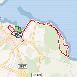
Trail Walking of 5.7 km to be discovered at Apulia, Lecce, Otranto. This trail is proposed by zoe.vienne.

Description

Petite balade touristique faite le 26 septembre 2018 par grand vent.

Elevation profile

Photos

Positioning

Country:
Italy
Region :
Apulia
Department/Province :
Lecce
Municipality :
Otranto
Location:
Unknown
Start:(UTM)
286378 ; 4446750 (34T) N.

Trails nearby

Trail Walking Otranto - Otranto  - Photo
Walking
GUIDE
antignacs

Walking

Very easy
Otranto, Apulia, Lecce, Italy
10.8 km | 12.7 km-effort
4h 42min
Yes
Trail Car Otranto - lu4 - Photo
Car
DUPORT16

Car

Very easy
Otranto, Apulia, Lecce, Italy
49 km | 53 km-effort
48min
No


Close
My subscriptions