

Le col de la Chaudière

tracegps
User

Length
75 km

Max alt
1055 m

Uphill gradient
1616 m

Km-Effort
96 km

Min alt
204 m

Downhill gradient
1617 m
Boucle
Yes
Creation date :
2014-12-10 00:00:00.0
Updated on :
2014-12-10 00:00:00.0
5h00
Difficulty : Difficult

FREE GPS app for hiking
About
Trail Cycle of 75 km to be discovered at Auvergne-Rhône-Alpes, Drôme, Pont-de-Barret. This trail is proposed by tracegps.
Description
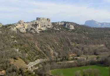
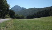
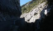
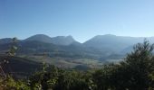
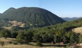
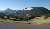
Un très beau parcours assez difficile car si le col de la Chaudière n'est qu'à un peu plus de 1000 m d'altitude, il y a plus de 1600 m de montée (et de descente). Les paysages sont très beaux en particulier le Pas de Lauzun lors de la montée vers Saou.
Positioning
Country:
France
Region :
Auvergne-Rhône-Alpes
Department/Province :
Drôme
Municipality :
Pont-de-Barret
Location:
Unknown
Start:(Dec)
Start:(UTM)
658588 ; 4939206 (31T) N.
Comments
Trails nearby
2022-10-01_18h01m37_13052196


Walking
Medium
(2)
Charols,
Auvergne-Rhône-Alpes,
Drôme,
France

10.7 km | 13.6 km-effort
3h 2min
Yes
2022-09-27_14h04m59_10644793


Walking
Medium
(3)
Puy-Saint-Martin,
Auvergne-Rhône-Alpes,
Drôme,
France

7.1 km | 10.5 km-effort
2h 22min
Yes
SityTrail - Boucle 1


On foot
Very difficult
(2)
Eyzahut,
Auvergne-Rhône-Alpes,
Drôme,
France

17.3 km | 31 km-effort
6h 0min
Yes
Puy st Martin les Ours 8km


Walking
Easy
(1)
Puy-Saint-Martin,
Auvergne-Rhône-Alpes,
Drôme,
France

7.7 km | 11.6 km-effort
3h 4min
Yes
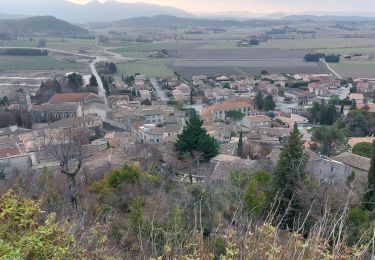
Puy St Martin Chevriere-Saudon 16 km


Walking
Medium
(1)
Puy-Saint-Martin,
Auvergne-Rhône-Alpes,
Drôme,
France

16 km | 22 km-effort
6h 35min
Yes
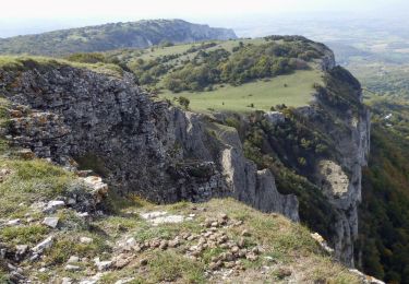
Rochebaudin-Trou du Furet-Serre Gros 16km


Walking
Difficult
Rochebaudin,
Auvergne-Rhône-Alpes,
Drôme,
France

15.8 km | 26 km-effort
5h 0min
Yes
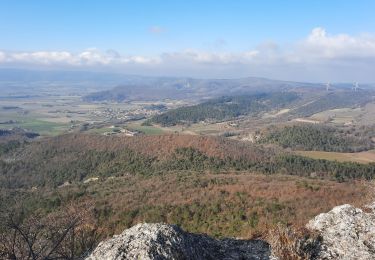
SityTrail - Puy St Martin La Pigne-Saudon 8,5km


Walking
Medium
Manas,
Auvergne-Rhône-Alpes,
Drôme,
France

13.9 km | 21 km-effort
4h 30min
Yes
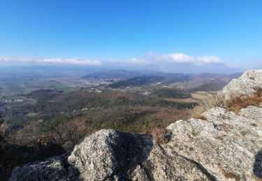
Manas-Pied Bazi-Ste Euphémie 6,5km


Walking
Medium
Manas,
Auvergne-Rhône-Alpes,
Drôme,
France

6.3 km | 10.3 km-effort
3h 7min
Yes
Soyans 17km


Walking
Medium
(1)
Soyans,
Auvergne-Rhône-Alpes,
Drôme,
France

15.5 km | 21 km-effort
5h 0min
Yes


 SityTrail



Too