Trail Walking Guipel - 08.11.2018 - Nord Montreuil Le Gast à HÉDÉ - Photo

08.11.2018 - Nord Montreuil Le Gast à HÉDÉ

 babeth35
babeth35

User

© OpenStreetMap contributors
Length
Length
27 km
Max alt
Max alt
125 m
Uphill gradient
Uphill gradient
224 m
Km-Effort
Km-Effort  
30 km
Min alt
Min alt
67 m
Downhill gradient
Downhill gradient
226 m
Boucle
Boucle
Yes
Creation date :
2019-01-15 18:35:41.228
Updated on :
2020-07-20 15:01:45.754

(0 Reviews)

Walking
Walking
6h45
Difficulty : Medium

Scan this QR Code to open this trail in the SityTrail application

FREE GPS app for hiking

Logo SityTrail SityTrail

IGN / Geographical institutes

Download SityTrail from the App Store Download SityTrail from Google Play

Logo SityTrail SityTrail World

The world is yours!

Download SityTrail from the App Store Download SityTrail from Google Play Download SityTrail on Huawei AppGallery

About

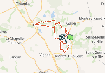
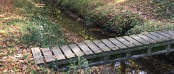
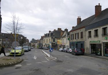
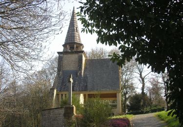
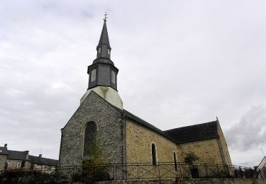
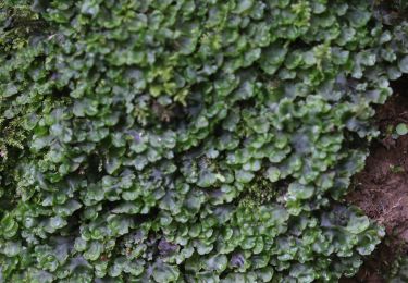
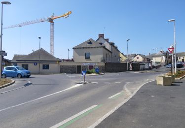
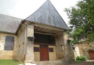
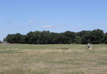
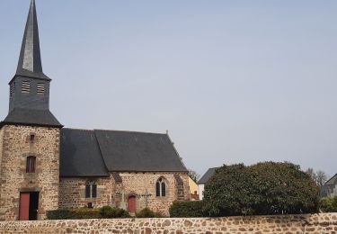
Trail Walking of 27 km to be discovered at Brittany, Ille-et-Vilaine, Guipel. This trail is proposed by babeth35.

Elevation profile

Photos

Points of interest

Point of interest Guipel - Sentier - Photo
babeth35
GUIPEL 
Point of interest Guipel - Chemin boisé - Photo
babeth35
Point of interest Guipel - Drôle de pont - Photo
babeth35
Point of interest Hédé-Bazouges - Sentier - Photo
babeth35
HÉDÉ-BAZOUGES 
Point of interest Hédé-Bazouges - 2 menhirs - Photo
babeth35
HÉDÉ-BAZOUGES 
Point of interest Hédé-Bazouges - Balisage local - Photo
babeth35
HÉDÉ-BAZOUGES 
Point of interest Hédé-Bazouges - Canal d'Ille-et-Rance - Photo
babeth35
HÉDÉ-BAZOUGES 
Point of interest Hédé-Bazouges - Canal - Photo
babeth35
HÉDÉ-BAZOUGES 
Point of interest Hédé-Bazouges - Ecluse - Photo
babeth35
HÉDÉ-BAZOUGES 
Point of interest Hédé-Bazouges - Ruisseau - Photo
babeth35
HÉDÉ-BAZOUGES 
Point of interest Hédé-Bazouges - La Rigole - Photo
babeth35
HÉDÉ-BAZOUGES 
Point of interest Hédé-Bazouges - Pont sauvage - Photo
babeth35
HÉDÉ-BAZOUGES 
Point of interest Hédé-Bazouges - Ruines et vestiges - Photo
babeth35
HÉDÉ-BAZOUGES 
Point of interest Guipel - Champignons - Photo
babeth35
GUIPEL 
Point of interest Guipel - Chapelle - Photo
babeth35
GUIPEL 

Positioning

Country:
France
Region :
Brittany
Department/Province :
Ille-et-Vilaine
Municipality :
Guipel
Location:
Unknown
Start:(UTM)
594057 ; 5346600 (30U) N.

Trails nearby

Trail On foot Melesse - Sentier des Melessiens - Photo
On foot
PRO

On foot

Easy
Melesse, Brittany, Ille-et-Vilaine, France
8.5 km | 9.6 km-effort
2h 10min
Yes
Trail On foot Saint-Médard-sur-Ille - Le Bois de Cranne - Photo
On foot
PRO

On foot

Easy
Saint-Médard-sur-Ille, Brittany, Ille-et-Vilaine, France
14.4 km | 16.6 km-effort
3h 45min
Yes
Trail On foot Montreuil-le-Gast - La Fosse du Loup - Photo
On foot
PRO

On foot

Medium
Montreuil-le-Gast, Brittany, Ille-et-Vilaine, France
18.3 km | 21 km-effort
4h 51min
Yes
Trail On foot Gévezé - Circuit du Cheval Blanc - Photo
On foot
PRO

On foot

Easy
Gévezé, Brittany, Ille-et-Vilaine, France
3.6 km | 4.1 km-effort
55min
Yes
Trail On foot Gévezé - Sentier de la Chaussée - Photo
On foot
PRO

On foot

Easy
Gévezé, Brittany, Ille-et-Vilaine, France
14.6 km | 16.1 km-effort
3h 39min
Yes
Trail On foot Gévezé - Circuit du Moulin de la Moltais - Photo
On foot
PRO

On foot

Easy
Gévezé, Brittany, Ille-et-Vilaine, France
7.8 km | 9.1 km-effort
2h 3min
Yes
Trail On foot Gévezé - Circuit de la Motte Marcillé - Photo
On foot
PRO

On foot

Easy
Gévezé, Brittany, Ille-et-Vilaine, France
6 km | 7.1 km-effort
1h 36min
No
Trail On foot Guipel - Sentier de la Normandière - Photo
On foot
PRO

On foot

Easy
Guipel, Brittany, Ille-et-Vilaine, France
10.5 km | 11.5 km-effort
2h 36min
Yes
Trail Walking Montreuil-sur-Ille - GR_37_BE_32_Montreuil-Sur-Ille_St-Symphorien_20220319 - Photo
Walking
patrickdanilo

Walking

Easy
Montreuil-sur-Ille, Brittany, Ille-et-Vilaine, France
15 km | 17.4 km-effort
3h 25min
No


Close
My subscriptions