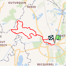

12.4 km | 12.8 km-effort


User


FREE GPS app for hiking
 SityTrail
IGN / Geographical institutes
SityTrail World
The world is yours!
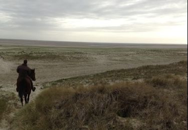
Trail Walking of 13.4 km to be discovered at Hauts-de-France, Somme, Rue. This trail is proposed by tracegps.
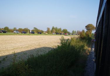
De cet ancien port au riche passé historique, partir vers les basses terres, au niveau de la mer, sillonnées de rus et de canaux. Pour télécharger la fiche du circuit en format pdf. Partez à la découverte de la Côte Picarde et de la Baie de Somme à travers 38 promenades et randonnées pédestres.


Walking

Cycle

Equestrian
On foot
Equestrian