


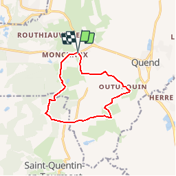

15.8 km | 16.9 km-effort

User


FREE GPS app for hiking
 SityTrail
IGN / Geographical institutes
SityTrail World
The world is yours!
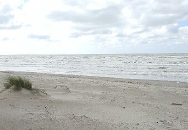
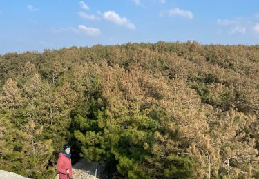
Trail Walking of 9.9 km to be discovered at Hauts-de-France, Somme, Quend. This trail is proposed by tracegps.
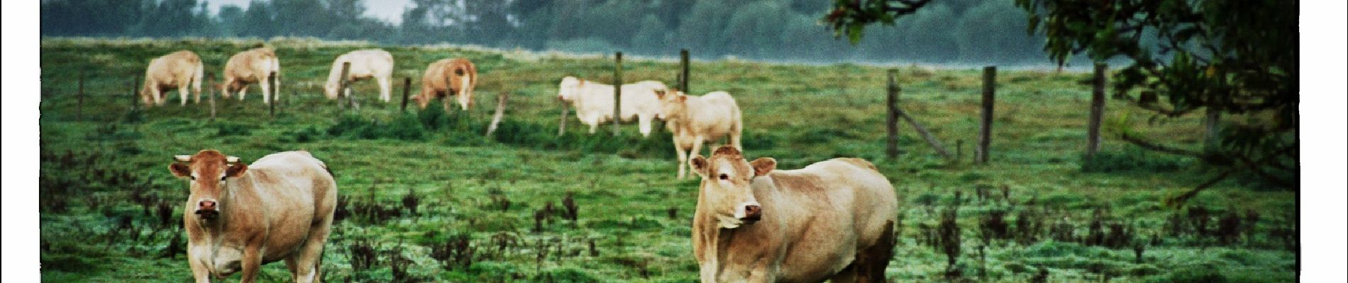
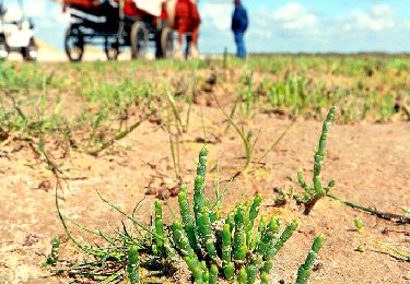
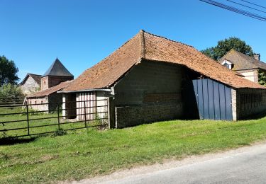
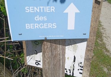
Une balade au pays des fermes, par les champs et les prés, entre buissons et bosquets, sur des chemins bordés de rus. Pour télécharger la fiche du circuit en format pdf. Partez à la découverte de la Côte Picarde et de la Baie de Somme à travers 38 promenades et randonnées pédestres.


Walking
Walking
Walking
Walking
On foot
Walking
Walking
Walking
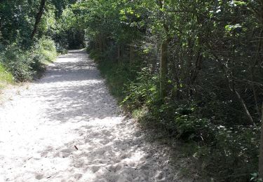
parcours bien tracé sur cette trace GPS, facile à suivre en VTT en reconnaissance avant une sortie en groupe.
Très beau parcours, facile et agréable.