


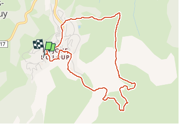

9 km | 16 km-effort


User


FREE GPS app for hiking
 SityTrail
IGN / Geographical institutes
SityTrail World
The world is yours!
Trail Walking of 5.5 km to be discovered at Provence-Alpes-Côte d'Azur, Hautes-Alpes, Le Dévoluy. This trail is proposed by GerardBouche.
Un très beau parcours par la Bergerie des Chaumates vers le Col du Tât. Magnifique point de vue sur l'Obiou et la Joue. Raquettes sur poudreuse / crampons sur neige durcie.)


Walking

Walking

Walking

Walking

Walking

Walking

Walking
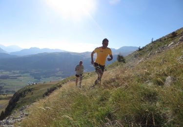
Running

Mountain bike