


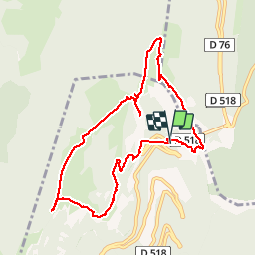

7.6 km | 10.8 km-effort


User


FREE GPS app for hiking
 SityTrail
IGN / Geographical institutes
SityTrail World
The world is yours!
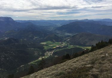
Trail Snowshoes of 9.9 km to be discovered at Auvergne-Rhône-Alpes, Drôme, Chamaloc. This trail is proposed by ajd26.
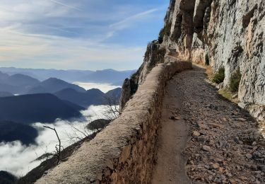
14/02/2019 départ sud du tunnel du Rousset la traversée du pierrier au départ est délicate


Snowshoes

Mountain bike
Walking

Walking
Walking
Walking
Walking
Walking

Snowshoes