


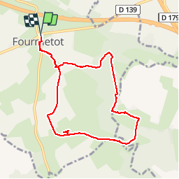

14.6 km | 18.6 km-effort


User


FREE GPS app for hiking
 SityTrail
IGN / Geographical institutes
SityTrail World
The world is yours!
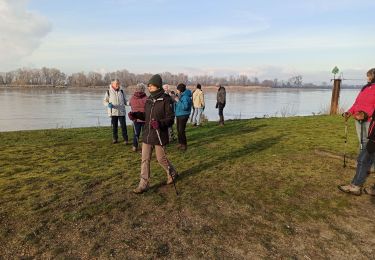
Trail Walking of 8.3 km to be discovered at Normandy, Eure, Le Perrey. This trail is proposed by MichelRando7656.
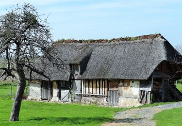
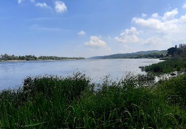
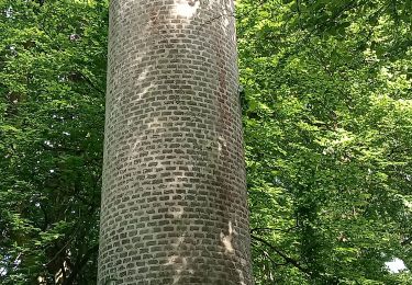
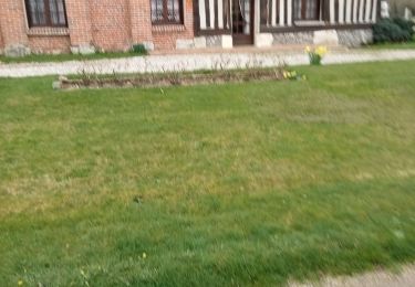
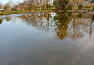
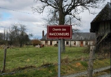
Chemins de terre bocagers. Chemins forestiers, une montée significative fans la forêt, une autre plus douce. Une super descente dans un chemin creux.
Très peu fe routes goudronnées sauf pour la traversée de 2 villages. Belles maisons arbres superbes.

Walking
On foot
Walking
Walking
Walking
Walking

Walking
Walking