


19.9 km | 26 km-effort


User


FREE GPS app for hiking
 SityTrail
IGN / Geographical institutes
SityTrail World
The world is yours!
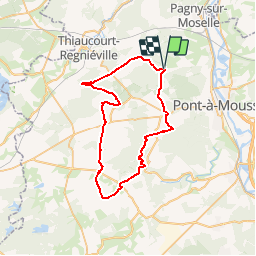
Trail Mountain bike of 47 km to be discovered at Grand Est, Meurthe-et-Moselle, Vilcey-sur-Trey. This trail is proposed by tracegps.
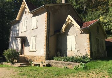
Une balade entre une nature fortement marquée par l’histoire de la Grande Guerre et des combats du Saillant de St-Mihiel. Dans la région de Pont-à-Mousson, ville porte du du Parc Naturel Régional de Lorraine, ce circuit vous fera découvrir les principaux sites et villages détruits rappelant cette page d’Histoire de Lorraine. Départ de Vilcey-sur-Treye, place de la mairie. Retrouvez ici le plan et descriptif du circuit. Vous pouvez obtenir le guide par courrier auprès du Parc Naturel Régional de Lorraine.


Mountain bike

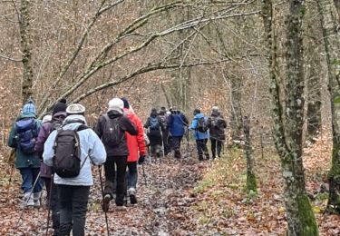
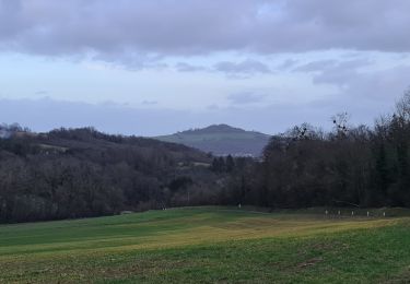
Walking
Walking
Walking
Walking
Walking
Walking
Walking

Walking