


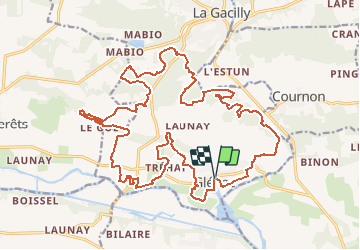


13.9 km | 15.9 km-effort


User


FREE GPS app for hiking
 SityTrail
IGN / Geographical institutes
SityTrail World
The world is yours!
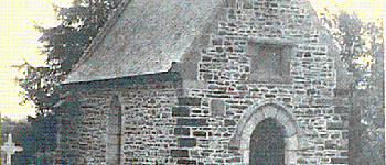
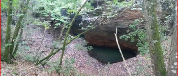
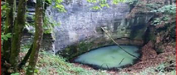
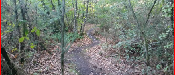
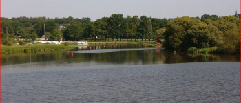
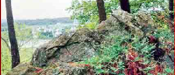
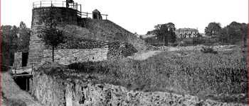
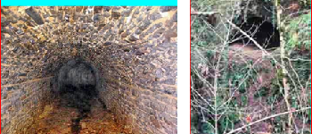
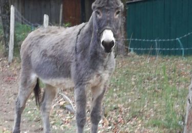
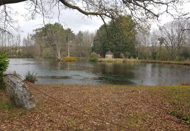
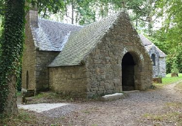
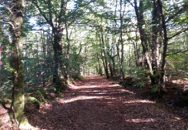
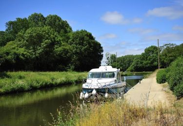
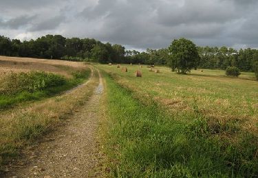
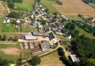
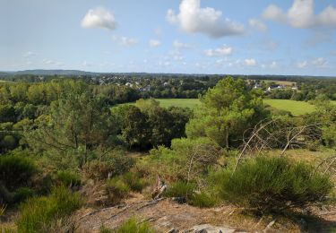
Trail Walking of 27 km to be discovered at Brittany, Morbihan, La Gacilly. This trail is proposed by babeth35.


Walking
Walking
Walking

Walking
Walking
Equestrian
Walking
Walking
Walking