


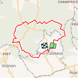


79 km | 91 km-effort

User


FREE GPS app for hiking
 SityTrail
IGN / Geographical institutes
SityTrail World
The world is yours!
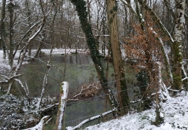
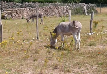
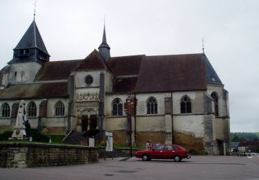
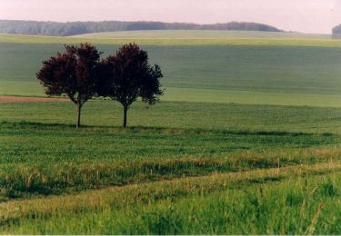
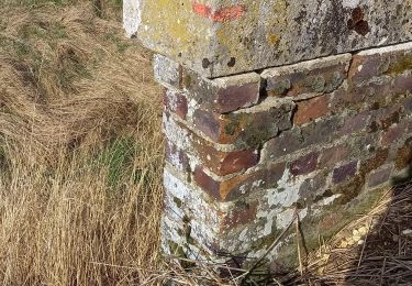
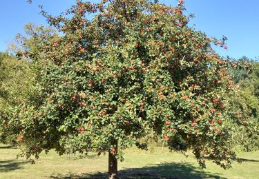
Trail Walking of 15.3 km to be discovered at Grand Est, Aube, Eaux-Puiseaux. This trail is proposed by francis1952.

Walking
Walking

Walking
Walking
Walking

Walking
Walking
Walking