


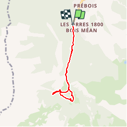


7.7 km | 13.7 km-effort


User


FREE GPS app for hiking
 SityTrail
IGN / Geographical institutes
SityTrail World
The world is yours!
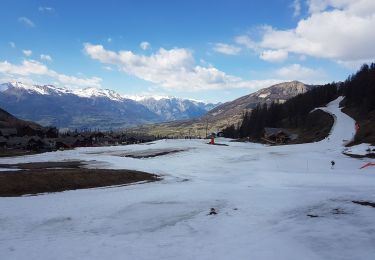
Trail Other activity of 5.4 km to be discovered at Provence-Alpes-Côte d'Azur, Hautes-Alpes, Les Orres. This trail is proposed by Renefrt.
Walking

Walking

Walking

Mountain bike
Walking
Walking

Touring skiing

Snowshoes
Touring skiing
La distance indiquée est au bas de la source, juste un visuel.