


20 km | 45 km-effort

User


FREE GPS app for hiking
 SityTrail
IGN / Geographical institutes
SityTrail World
The world is yours!
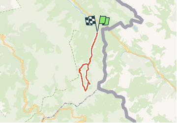
Trail Walking of 21 km to be discovered at Provence-Alpes-Côte d'Azur, Alpes-de-Haute-Provence, Val-d'Oronaye. This trail is proposed by PatDev.
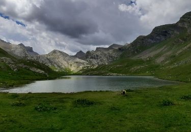
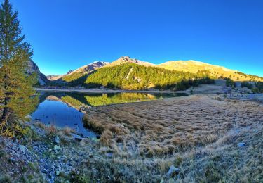
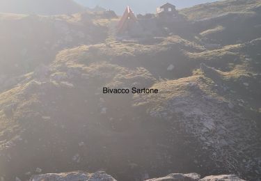
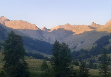
Rando dans la parc du Mercantour , vallon du Lausanier
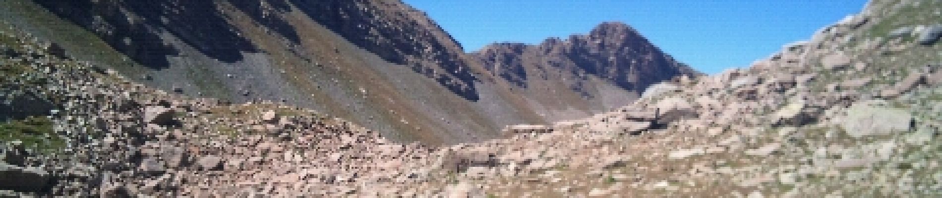
.cor - Photo 1")
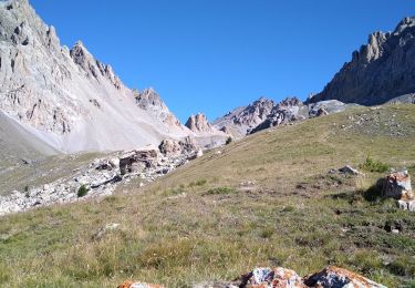
.cor - Photo 2")
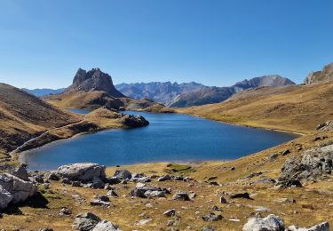
.cor - Photo 3")
.cor - Photo 4")
.cor - Photo 5")
.cor - Photo 6")
Walking

Walking
Walking
Walking
Walking
Walking
Walking

Walking
Walking