


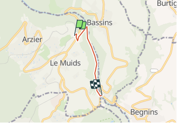

5.7 km | 11.2 km-effort


User


FREE GPS app for hiking
 SityTrail
IGN / Geographical institutes
SityTrail World
The world is yours!
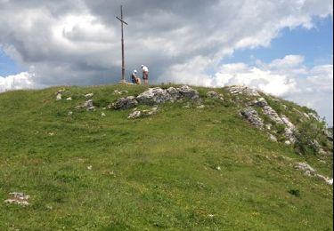
Trail Other activity of 2.7 km to be discovered at Vaud, District de Nyon, Arzier. This trail is proposed by Dgubler.
Sentier des Toblerones entre la halte de Bassins (NStCM) et La Cézille. Belle ballade en forêt. Le sentier complet descend jusqu''au bord du Léman à Gland.
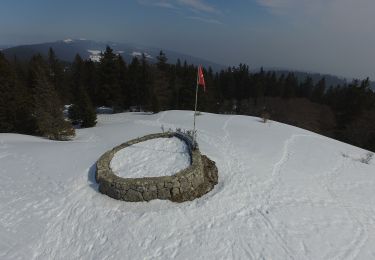
Toblerone is of course a famous Swiss chocolate bar. But the Toblerone Line is the nickname of concrete anti-tank barriers that scatter the Swiss landscape. With the long-lasting peace, the concrete blocks have become home for lizards and rare plants! A nice hike on the foothills of the Jura. I have the route on my GPS, haven''t managed to upload it yet!
On foot
Walking
Walking
Walking

Other activity

Walking
Walking

Equestrian
Equestrian