


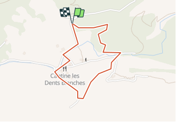


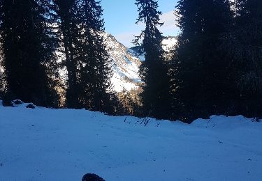
9.6 km | 17.9 km-effort


User


FREE GPS app for hiking
 SityTrail
IGN / Geographical institutes
SityTrail World
The world is yours!
Trail Walking of 1.8 km to be discovered at Valais/Wallis, Monthey, Champéry. This trail is proposed by otchampery.
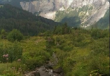
Le sentier rural erzählt ihnen vom Leben auf dem Plateau in vergangenen Zeiten, von der Sägerei am Bach, von den Chalets auf Barme und dessen Bewohnern, ?

Walking
On foot

Walking
On foot
Snowshoes
Walking
Walking
Snowshoes
Snowshoes