


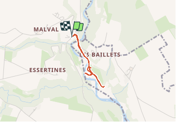

10.7 km | 23 km-effort


User


FREE GPS app for hiking
 SityTrail
IGN / Geographical institutes
SityTrail World
The world is yours!
Trail Walking of 2.3 km to be discovered at Geneva, Unknown, Dardagny. This trail is proposed by Dgubler.
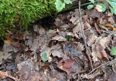
Excursion botanique guidée par Cyrille Latour.
Vu notamment l''Oeillet des Chartreux.
Appris que les chênes de la région sont soit le Chêne Sessile (feuille à pétiole) et le Chêne Pédonculé (pédoncule au gland, pas de pétiole à la feuille).

Walking

Walking

Walking
Walking
Walking
Walking
Walking