Trail Walking Bolbec - bolbec nord  - Photo
 Equedreu
Equedreu

User

© OpenStreetMap contributors
Length
Length
10.9 km
Max alt
Max alt
130 m
Uphill gradient
Uphill gradient
223 m
Km-Effort
Km-Effort  
13.9 km
Min alt
Min alt
48 m
Downhill gradient
Downhill gradient
226 m
Boucle
Boucle
Yes
Creation date :
2014-12-10 00:00:00.0
Updated on :
2014-12-10 00:00:00.0

(0 Reviews)

Walking
Walking
1h59
Difficulty : Easy

Scan this QR Code to open this trail in the SityTrail application

FREE GPS app for hiking

Logo SityTrail SityTrail

IGN / Geographical institutes

Download SityTrail from the App Store Download SityTrail from Google Play

Logo SityTrail SityTrail World

The world is yours!

Download SityTrail from the App Store Download SityTrail from Google Play Download SityTrail on Huawei AppGallery

About

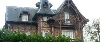
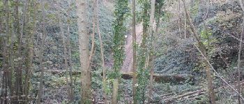
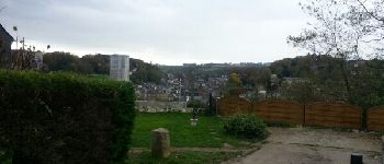
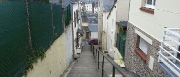
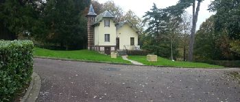
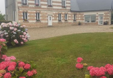
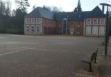
Trail Walking of 10.9 km to be discovered at Normandy, Seine-Maritime, Bolbec. This trail is proposed by Equedreu.

Description

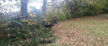
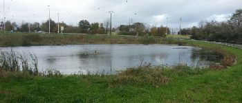
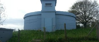
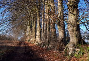
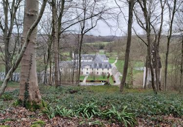
départ du quartier fontaoine martel en direction de Nointot. Avant le chemin de fer, on passe par le bois Jouen jusqu'à l mare de la fontaine palfray. Après le hameau du beau Soleil, on descend sur la rte de Mirville. On remonte dans les plaines agricoles sur le plateau puis on redescend sur val au grès et la fonderie du val ricard d'où on remonte vers la jolie. Enfin, redescente vers la place felix faure et remontée par la rue Jean Macé. Pleins de coins méconnus et cachés de cette petite ville de bolbec

Elevation profile

Photos

Points of interest

Point of interest Nointot - Route de Mirville - Photo
Equedreu
Point of interest Bolbec - Au rond Point - Photo
Equedreu
Point of interest Bolbec - Réservoir d'eau - Photo
Equedreu
Point of interest Bolbec - Manoir - Photo
Equedreu
BOLBEC 
Point of interest Bolbec - Chemin de fer - Photo
Equedreu
Point of interest Bolbec - Rue des Petits Bois - Photo
Equedreu
Point of interest Bolbec - Campagne - Photo
Equedreu
BOLBEC 
Point of interest Bolbec - Vue sur Bolbec - Photo
Equedreu
Point of interest Bolbec - chalet - Photo
Equedreu
BOLBEC 

Positioning

Country:
France
Region :
Normandy
Department/Province :
Seine-Maritime
Municipality :
Bolbec
Location:
Unknown
Start:(UTM)
317992 ; 5494533 (31U) N.

Trails nearby

Trail Walking Saint-Eustache-la-Forêt - Saint Eustache la Forêt / Le Val d'Arques / La mare Barbey / St Eustache - Photo
Walking
MarcherEnsemble

Walking

Easy
(1)
Saint-Eustache-la-Forêt, Normandy, Seine-Maritime, France
9.9 km | 12.3 km-effort
2h 27min
Yes
Trail Walking Les Trois-Pierres - Les 3 pierres - Photo
Walking
Titloup76

Walking

Very easy
(1)
Les Trois-Pierres, Normandy, Seine-Maritime, France
19.6 km | 22 km-effort
Unknown
Yes
Trail Walking Mélamare - melamare ,saint Antoine la forêt,St Nicolas de la taille - Photo
Walking
RoMo

Walking

Medium
Mélamare, Normandy, Seine-Maritime, France
21 km | 25 km-effort
5h 41min
Yes
Trail Orienteering Gruchet-le-Valasse - abbaye de valasse - Photo
Orienteering
baruc

Orienteering

Very easy
Gruchet-le-Valasse, Normandy, Seine-Maritime, France
3.3 km | 4.5 km-effort
33min
No
Trail Walking Bolbec - Bolbec - Photo
Walking
Guilmatre

Walking

Very easy
Bolbec, Normandy, Seine-Maritime, France
8.9 km | 11.3 km-effort
2h 25min
Yes
Trail Walking Bréauté - Bréauté - Photo
Walking
bergo

Walking

Very easy
Bréauté, Normandy, Seine-Maritime, France
17.2 km | 19.3 km-effort
3h 55min
Yes
Trail Walking Saint-Antoine-la-Forêt - st Antoine la forêt  - Photo
Walking
BUNICOU76

Walking

Medium
Saint-Antoine-la-Forêt, Normandy, Seine-Maritime, France
7.2 km | 9.1 km-effort
2h 9min
No
Trail Walking Saint-Antoine-la-Forêt - st Antoine la forêt Joël  - Photo
Walking
BUNICOU76

Walking

Medium
Saint-Antoine-la-Forêt, Normandy, Seine-Maritime, France
7.9 km | 10.1 km-effort
1h 34min
Yes
Trail Walking Les Trois-Pierres - les trois pierre - Photo
Walking
AACLARANDO

Walking

Medium
Les Trois-Pierres, Normandy, Seine-Maritime, France
7.8 km | 8.5 km-effort
1h 47min
Yes


Close
My subscriptions