


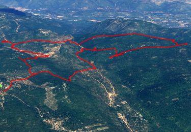
11.8 km | 19.3 km-effort


User


FREE GPS app for hiking
 SityTrail
IGN / Geographical institutes
SityTrail World
The world is yours!
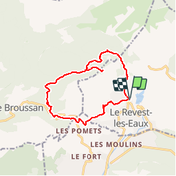
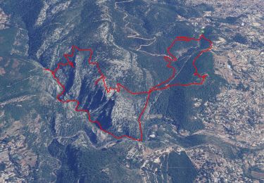
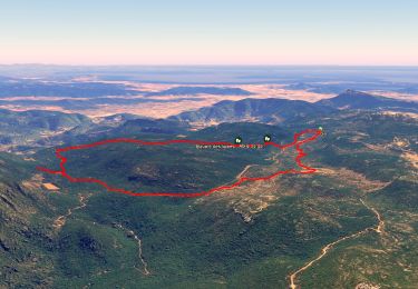
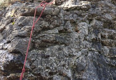
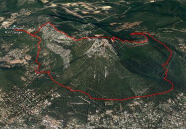
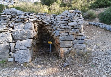
Trail Walking of 14.5 km to be discovered at Provence-Alpes-Côte d'Azur, Var, Le Revest-les-Eaux. This trail is proposed by soca.
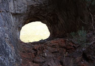
Départ du Revest, col des morts,Aven Mt Caume,Bruguiére,col du corps de garde,les baumes,mal vallon, le Revest.
Walking
Walking
Walking
Walking
Walking
Walking
Walking

Walking
Walking