


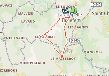

6.5 km | 9.5 km-effort


User


FREE GPS app for hiking
 SityTrail
IGN / Geographical institutes
SityTrail World
The world is yours!
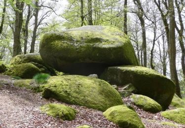
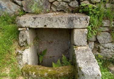
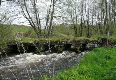
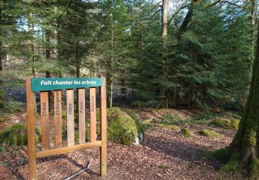
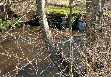
Trail Walking of 5.6 km to be discovered at New Aquitaine, Creuse, La Chapelle-Taillefert. This trail is proposed by fanthou.

Walking
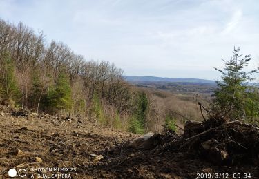
Nordic walking
Walking

Walking
Walking
Walking

Walking
Nordic walking
Other activity