


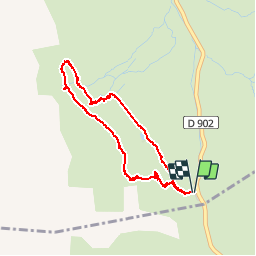

10 km | 19 km-effort

User


FREE GPS app for hiking
 SityTrail
IGN / Geographical institutes
SityTrail World
The world is yours!
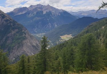
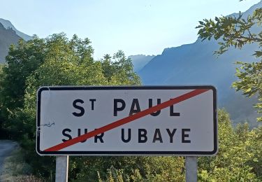
Trail Walking of 4.5 km to be discovered at Provence-Alpes-Côte d'Azur, Hautes-Alpes, Vars. This trail is proposed by marmotte83.
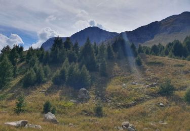
Attention une partie de la randonnée est hors sentier. Il s'agit d'une boucle dans l'alpage du col de Vars.


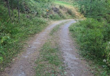
Walking

Other activity
Walking
Walking
Walking
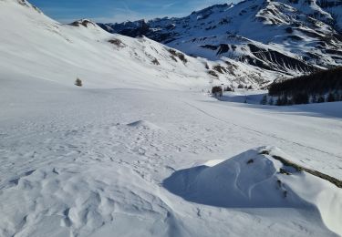
Touring skiing
Walking
Walking
Walking
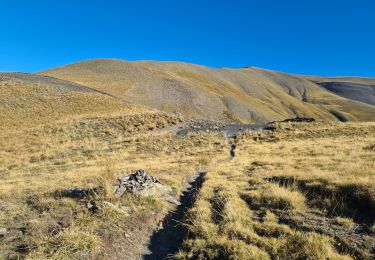
abbiamo fatto andata e ritorno, il sentiero per tornare e formare il cerchio non è segnalato.
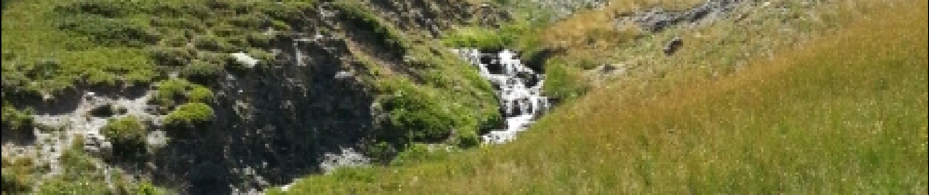
paysages magnifiques, difficulté moyenne