


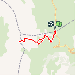

4.5 km | 6.1 km-effort

User


FREE GPS app for hiking
 SityTrail
IGN / Geographical institutes
SityTrail World
The world is yours!
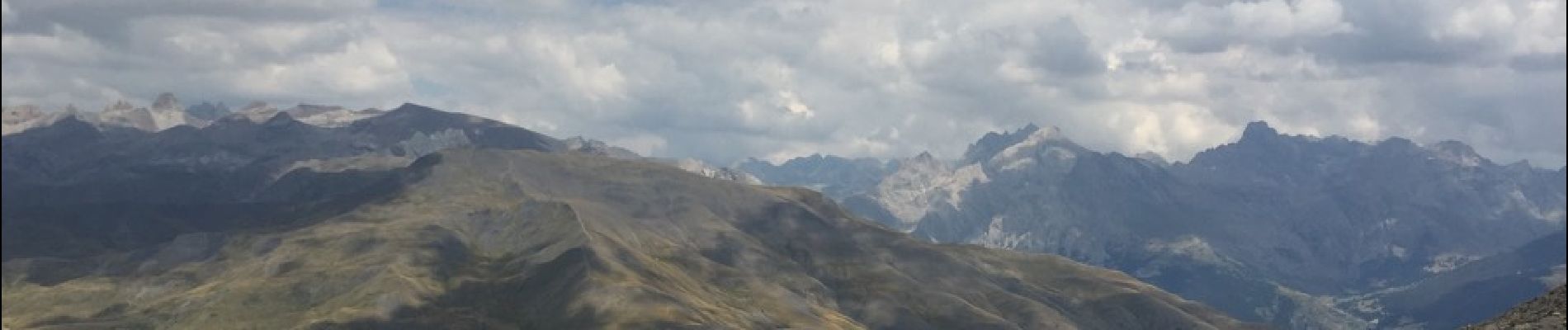
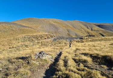
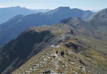
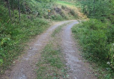
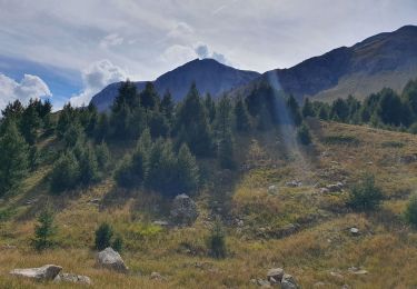
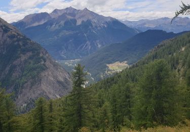
Trail Walking of 6.9 km to be discovered at Provence-Alpes-Côte d'Azur, Hautes-Alpes, Vars. This trail is proposed by yoyolyon.
Au parking du col de vars prendre le chemin en direction du col du Crachet montée douce au départ pour arriver sur une pente raide dans les rochers. Randonné jolie avec un dénivelé de 531m.


Walking

Walking

Other activity
Walking
Walking
Walking
Touring skiing
Walking
Walking