


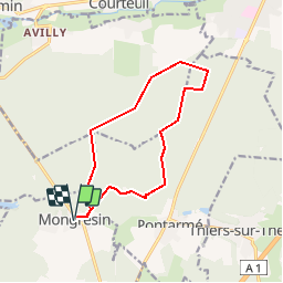

9.2 km | 11.2 km-effort


User


FREE GPS app for hiking
 SityTrail
IGN / Geographical institutes
SityTrail World
The world is yours!
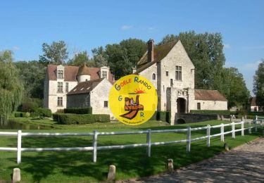
Trail Nordic walking of 11.7 km to be discovered at Hauts-de-France, Oise, Orry-la-Ville. This trail is proposed by domifon.
Depart de Montgresin marche à l'ouest de la N17 jusqu'au bord d'Avilly St Leonard

Walking
Walking
Walking

Walking

Walking
Walking
Walking

Walking

Walking