


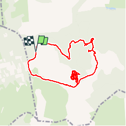

7.5 km | 9 km-effort


User


FREE GPS app for hiking
 SityTrail
IGN / Geographical institutes
SityTrail World
The world is yours!
Trail Walking of 13.5 km to be discovered at Occitania, Aveyron, Nant. This trail is proposed by ledjai51.
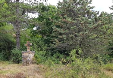
Difficile à trouver

Walking
Nordic walking

Walking

Walking

Mountain bike
Walking
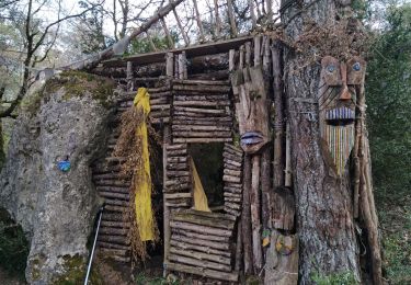
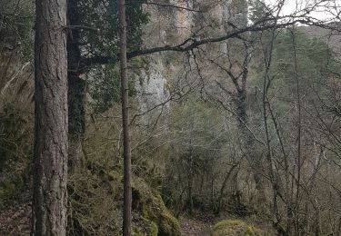
Super rando, paysages et sites magnifiques