


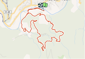

12.8 km | 23 km-effort


User


FREE GPS app for hiking
 SityTrail
IGN / Geographical institutes
SityTrail World
The world is yours!
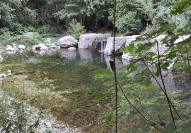
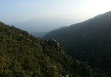
Trail Walking of 8.1 km to be discovered at Occitania, Pyrénées-Orientales, Arles-sur-Tech. This trail is proposed by jeff66.
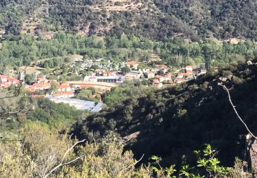
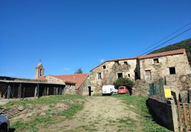
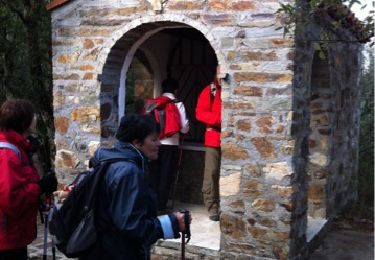
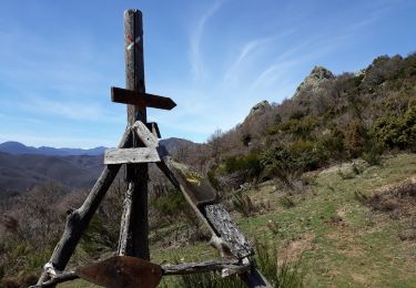
66 ARLES SUR TECH, de la fontaine des buis a Santa Creu, par le mas del Guardia, belvédère, grotte et oratoire
Walking
Walking
Walking

Walking

Walking
Walking
Walking
Walking
Walking