Trail Mountain bike Anhée - ANHEE (RaVel) - Photo

ANHEE (RaVel)

© OpenStreetMap contributors
Length
Length
32 km
Max alt
Max alt
235 m
Uphill gradient
Uphill gradient
550 m
Km-Effort
Km-Effort  
40 km
Min alt
Min alt
87 m
Downhill gradient
Downhill gradient
550 m
Boucle
Boucle
Yes
Creation date :
2016-09-28 00:00:00.0
Updated on :
2016-09-28 00:00:00.0

(0 Reviews)

Mountain bike
Mountain bike
1h30
Difficulty : Very easy

Scan this QR Code to open this trail in the SityTrail application

FREE GPS app for hiking

Logo SityTrail SityTrail

IGN / Geographical institutes

Download SityTrail from the App Store Download SityTrail from Google Play

Logo SityTrail SityTrail World

The world is yours!

Download SityTrail from the App Store Download SityTrail from Google Play Download SityTrail on Huawei AppGallery

About

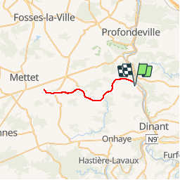
Trail Mountain bike of 32 km to be discovered at Wallonia, Namur, Anhée. This trail is proposed by GerardBouche.

Description

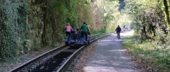
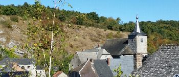
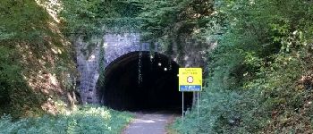
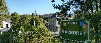
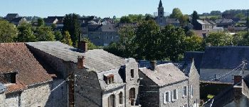
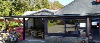
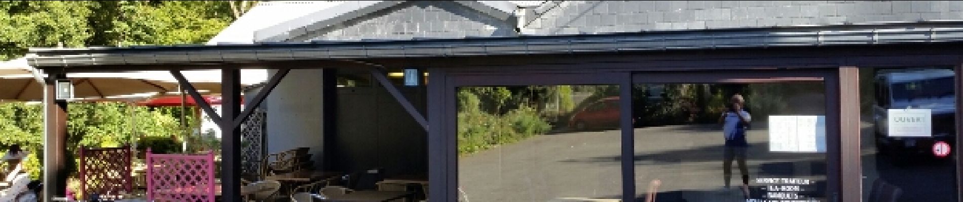
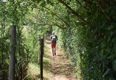
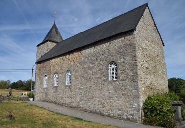
Au départ de la place d'Anhée dans la superbe vallée de la Molignée vers Falaën-gare et ses draisines, les villages de Sosoye, de Maredret et d'Ermeton sur-Biert. Une petite pause au retour à la brasserie "Les Viviers".

Elevation profile

Photos

Points of interest

Point of interest Onhaye - Les draisines - Photo
GerardBouche
Point of interest Anhée - Sosoye - Photo
GerardBouche
ANHÉE 
Point of interest Anhée - Tunnel de Maredsous - Photo
GerardBouche
Point of interest Anhée - Maredret  - Photo
GerardBouche
ANHÉE 
Point of interest Mettet - Ermeton-sur-Biert   - Photo
GerardBouche
Point of interest Anhée - Les Viviers - Photo
GerardBouche
ANHÉE 

Positioning

Country:
Belgium
Region :
Wallonia
Department/Province :
Namur
Municipality :
Anhée
Location:
Anhée
Start:(UTM)
633611 ; 5574740 (31U) N.

Trails nearby

Trail Walking Yvoir - RB-Na-21-Terres seigneuriales et carrières de la vallée du Bocq - Photo
Walking
PRO

Walking

Medium
(6)
Yvoir, Wallonia, Namur, Belgium
22 km | 29 km-effort
6h 10min
Yes
Trail Walking Yvoir - RB-Na-03 Forteresses, citadelle et abbaye mosanes - Photo
Walking
PRO

Walking

Difficult
(10)
Yvoir, Wallonia, Namur, Belgium
22 km | 30 km-effort
7h 1min
Yes
Trail Walking Yvoir - GG2-Na-38_Godinne-Dinant (2021-11-04) - Photo
Walking
PRO

Walking

Very difficult
(6)
Yvoir, Wallonia, Namur, Belgium
19.5 km | 27 km-effort
6h 13min
No
Trail Walking Anhée - RF-Na-05 Annevoie, côté Jardins_Grande-boucle - Photo
Walking
PRO

Walking

Medium
(11)
Anhée, Wallonia, Namur, Belgium
11.3 km | 14.5 km-effort
3h 6min
Yes
Trail Walking Anhée - RF-Na-05 Annevoie, côté Jardins_Petite-boucle - Photo
Walking
PRO

Walking

Easy
(7)
Anhée, Wallonia, Namur, Belgium
7.4 km | 10 km-effort
2h 7min
Yes
Trail Walking Onhaye - RB-Na-C2-Sommière-Complet_20,4km - Photo
Walking
PRO

Walking

Very difficult
(2)
Onhaye, Wallonia, Namur, Belgium
20 km | 25 km-effort
5h 25min
Yes
Trail Walking Yvoir - RB-Na-21-raccourci-Terres seigneuriales et carrières de la vallée du Bocq - Photo
Walking
PRO

Walking

Medium
(2)
Yvoir, Wallonia, Namur, Belgium
16.5 km | 22 km-effort
4h 45min
Yes
Trail Walking Yvoir - D'Yvoir à Evrehailles - Photo
Walking
GUIDE
Desrumaux

Walking

Easy
(2)
Yvoir, Wallonia, Namur, Belgium
9.9 km | 13.2 km-effort
2h 51min
Yes
Trail Walking Yvoir - De Godinne à Rivière par le point de vue des 7 Meuses - Photo
Walking
GUIDE
Desrumaux

Walking

Easy
(5)
Yvoir, Wallonia, Namur, Belgium
8.5 km | 11.6 km-effort
2h 30min
Yes


Close
My subscriptions