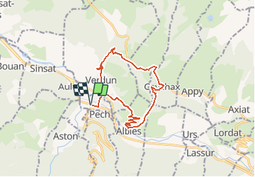

14.8 km | 25 km-effort


User


FREE GPS app for hiking
 SityTrail
IGN / Geographical institutes
SityTrail World
The world is yours!
Trail Walking of 14.7 km to be discovered at Occitania, Ariège, Les Cabannes. This trail is proposed by c.chehere.
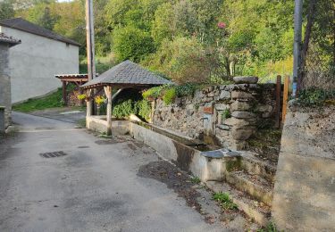
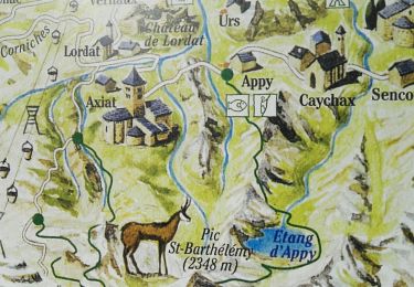
Se garer sur la place principale de "Les Cabannes".
Itinéraire décrit dans le guide N° 1 édité par l'office du tourisme des vallées d'Ax.
Rando N° 6

Walking
Walking
Walking

Walking
Walking
Walking