


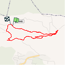

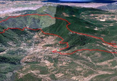
14.1 km | 21 km-effort


User


FREE GPS app for hiking
 SityTrail
IGN / Geographical institutes
SityTrail World
The world is yours!
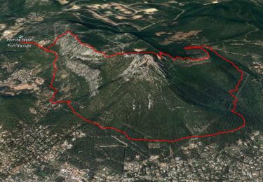
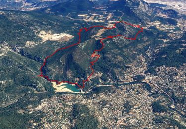
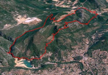
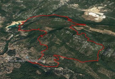
Trail Walking of 5.8 km to be discovered at Provence-Alpes-Côte d'Azur, Var, La Valette-du-Var. This trail is proposed by GILOU440.
LE DESSOUS DES BARRES DU COUDON
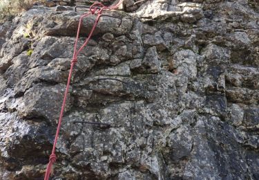
UN PASSAGE FACILE AVEC MAIN COURANTE
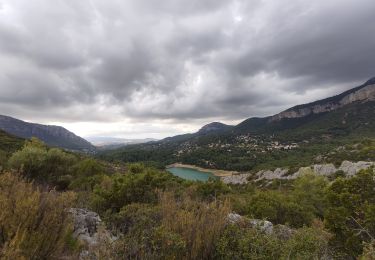
LA JOIE DES ÉBOULIS
FAIT LE 28 10 2016
Walking
Walking
Walking
Walking

Walking

Walking
Walking
Walking
Walking
réponse du passage avec main courante. 43.158830N 5.999685E
bonjour j'ai cherche les passages cablés avec des cordes semble t il? pouvez vous m'indiquer a quel endroit on peut les trouver ?merci beaucoup