


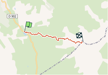

7.2 km | 11 km-effort


User


FREE GPS app for hiking
 SityTrail
IGN / Geographical institutes
SityTrail World
The world is yours!
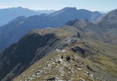
Trail Snowshoes of 3.9 km to be discovered at Provence-Alpes-Côte d'Azur, Hautes-Alpes, Vars. This trail is proposed by motardes04.
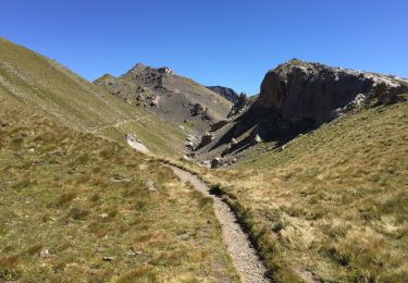
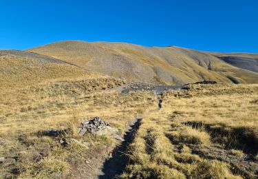
26/03/2017 ; il a neigé sur Paneyron ! 50 à 80 cm de poudre ... hélas les requins sont toujours présents à la descente. Merci à la louloutte qui a tracé, chapeau ! Arrêt juste sous le sommet pour limiter le vent ...

Walking
Walking

Walking

Walking
Walking

Other activity
Walking
Walking
Walking