Trail Walking Lavelanet - Photoguide n°4: boucle Urbaine La Fontaine le Gabre - Photo

Photoguide n°4: boucle Urbaine La Fontaine le Gabre

 jopost
jopost

User

© OpenStreetMap contributors
Length
Length
4 km
Max alt
Max alt
525 m
Uphill gradient
Uphill gradient
39 m
Km-Effort
Km-Effort  
4.5 km
Min alt
Min alt
502 m
Downhill gradient
Downhill gradient
35 m
Boucle
Boucle
Yes
Creation date :
2017-05-11 00:00:00.0
Updated on :
2017-05-11 00:00:00.0

(0 Reviews)

Walking
Walking
1h00
Difficulty : Very easy

Scan this QR Code to open this trail in the SityTrail application

FREE GPS app for hiking

Logo SityTrail SityTrail

IGN / Geographical institutes

Download SityTrail from the App Store Download SityTrail from Google Play

Logo SityTrail SityTrail World

The world is yours!

Download SityTrail from the App Store Download SityTrail from Google Play Download SityTrail on Huawei AppGallery

About

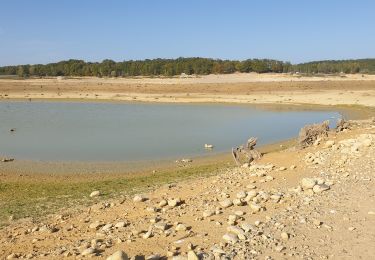
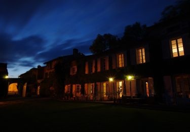
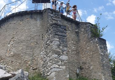
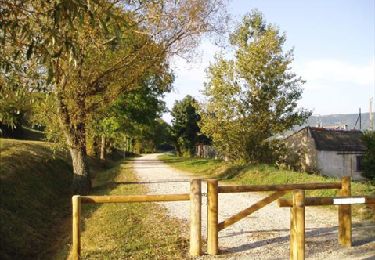
Trail Walking of 4 km to be discovered at Occitania, Ariège, Lavelanet. This trail is proposed by jopost.

Description

départ au Cinéma le Casino,longez l'esplanade de la Concorde,prenez la rue René Cassin vers le Foirail puis la rue Mirabeau, descendez la rue Frédéric Mistralet allez jusqu'au fond de la rue La Fontaine, traversez l'Avenue Alsace Lorraine et engagez vous dans la cité des aubépines, rejoignez la rue Denis Papin, à gauche vers la rue du Gabre jusqu'au bout et à droite la rue Joseph Delsault puis la rue Parmentier et retour rue du Gabre puis place Aristide Briand, tournez à gauche dans la rue Sébilé et allez jusqu'à la place Jeanne d'Arc puis revenez sur l'Esplanade.
Vous pouvez vous procurer les Photoguides Lavelanétiens à l'Office de Tourisme, Camping Cathare, Maison des Projets ou sur Facebook sur la page "Escapades Pyrénées Cathares Lavelanet Ste Rufine Le Soula

Elevation profile

Positioning

Country:
France
Region :
Occitania
Department/Province :
Ariège
Municipality :
Lavelanet
Location:
Unknown
Start:(UTM)
406143 ; 4754237 (31T) N.

Trails nearby

Trail Electric bike Lavelanet - Lavelanet Ste Colombe lac Montbel retour Laroque  - Photo
Electric bike
jopost

Electric bike

Medium
Lavelanet, Occitania, Ariège, France
40 km | 44 km-effort
4h 30min
Yes
Trail On foot Laroque-d'Olmes - Les Crètes du Plantaurel - Photo
On foot
PRO

On foot

Easy
Laroque-d'Olmes, Occitania, Ariège, France
11.8 km | 17.3 km-effort
3h 55min
Yes
Trail Walking Montferrier - découverte du château de montsegur et du village par montferroer - Photo
Walking
fab0202

Walking

Medium
Montferrier, Occitania, Ariège, France
12.6 km | 21 km-effort
3h 42min
Yes
Trail Walking Lavelanet - Camping Village des Bons-Hommes pour balade-grillade - Photo
Walking
jopost

Walking

Very easy
Lavelanet, Occitania, Ariège, France
4.8 km | 6.5 km-effort
2h 14min
Yes
Trail Walking Montferrier - Sentier cathare - Château de Montsegur - Photo
Walking
toutankhcarton

Walking

Medium
Montferrier, Occitania, Ariège, France
12.6 km | 21 km-effort
4h 48min
Yes
Trail Walking Lavelanet - BOUCLE Ste Rufine, Raissac, Péreille d'en Bas et Haut, retour Cambière Bensa - Photo
Walking
jopost

Walking

Easy
Lavelanet, Occitania, Ariège, France
13.3 km | 21 km-effort
4h 34min
Yes
Trail Walking Lavelanet - boucle soula le bac  - Photo
Walking
jopost

Walking

Difficult
Lavelanet, Occitania, Ariège, France
7.3 km | 10.8 km-effort
3h 13min
Yes
Trail Walking Lavelanet - Tour de Péreille - Photo
Walking
RR31

Walking

Very easy
Lavelanet, Occitania, Ariège, France
14.7 km | 19.1 km-effort
4h 3min
Yes
Trail Walking Lavelanet - Lavelanet Belesta Ivry - Photo
Walking
RR31

Walking

Medium
Lavelanet, Occitania, Ariège, France
25 km | 32 km-effort
6h 42min
No


Close
My subscriptions