


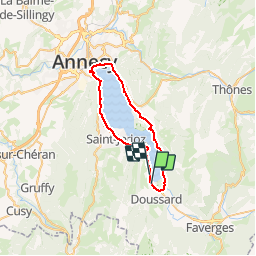


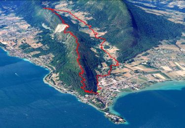
27 km | 31 km-effort

User GUIDE


FREE GPS app for hiking
 SityTrail
IGN / Geographical institutes
SityTrail World
The world is yours!
Trail Cycle of 38 km to be discovered at Auvergne-Rhône-Alpes, Upper Savoy, Lathuile. This trail is proposed by pascalou73.
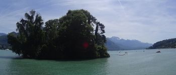
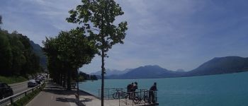
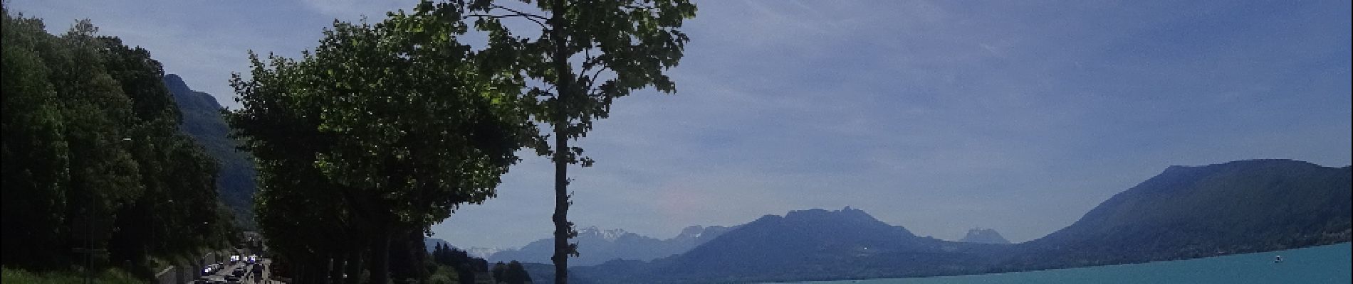
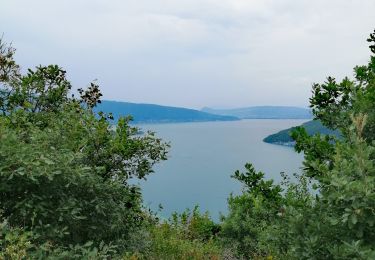
Le tour du lac d'Annecy . une superbe vue sur le lac et les montagnes, la piste cyclable, la voie verte du bord du lac est particulièrement appréciée par les cyclistes, rollers et coureurs qui l’empruntent


Mountain bike

Walking

Walking

Walking
Walking

Walking

Walking
Walking
Walking