


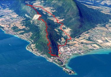
9.3 km | 22 km-effort

User GUIDE


FREE GPS app for hiking
 SityTrail
IGN / Geographical institutes
SityTrail World
The world is yours!
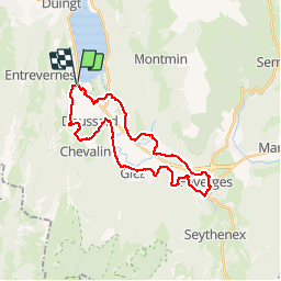
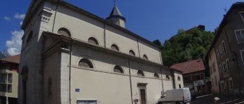
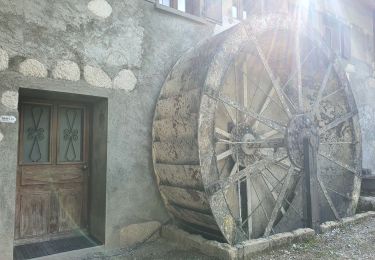
Trail Mountain bike of 27 km to be discovered at Auvergne-Rhône-Alpes, Upper Savoy, Lathuile. This trail is proposed by pascalou73.
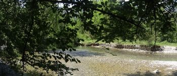
Une randonnée en VTT entre le village de Faverges et Doussard qui va vous enchante et qui aux files de celle-ci va vous faire découvrir la belle région. du lac d'Annecy au coeur de la Savoie .avec comme décorent les montagnes et les champs .bref du bonheur


Walking

Walking

Walking
Walking

Walking

Cycle

Walking
Walking
Walking
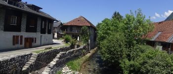
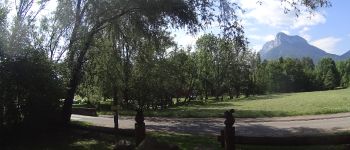
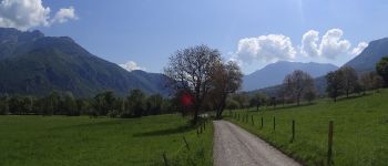
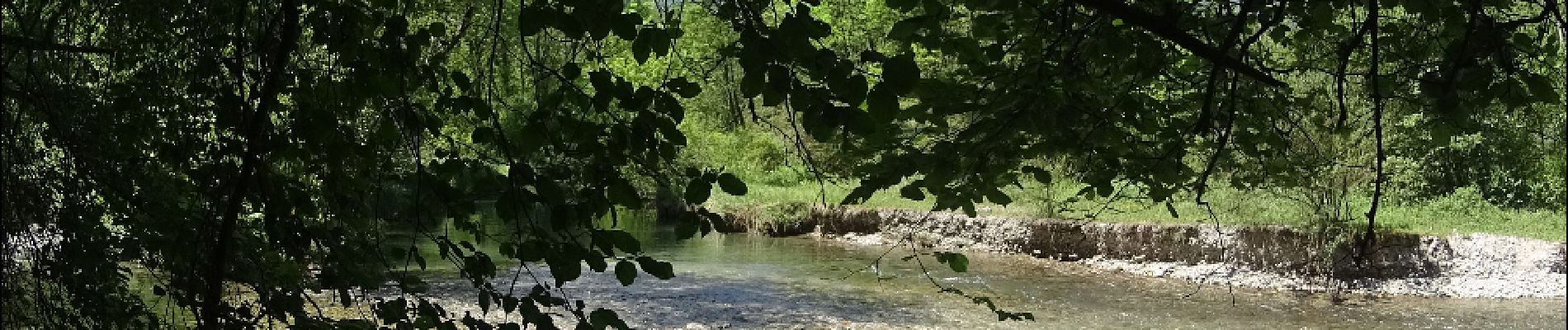
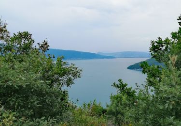
belle randonnée familiale, faisable pour enfants 12 ans, bien ombragé, montée surtout sur la première moitié, beaux villages