


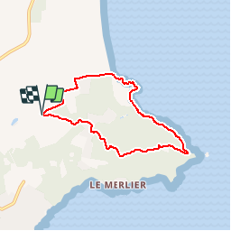


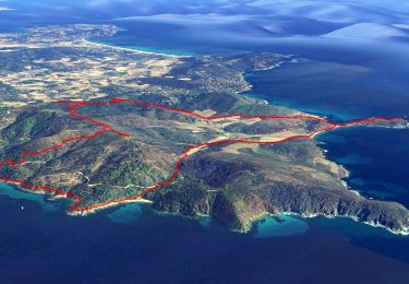
15.2 km | 20 km-effort

User GUIDE


FREE GPS app for hiking
 SityTrail
IGN / Geographical institutes
SityTrail World
The world is yours!
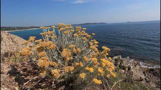
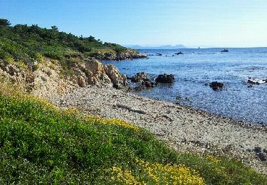
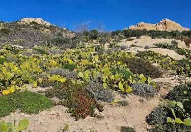
Trail Walking of 6.8 km to be discovered at Provence-Alpes-Côte d'Azur, Var, Ramatuelle. This trail is proposed by pascalou73.
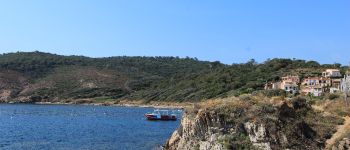
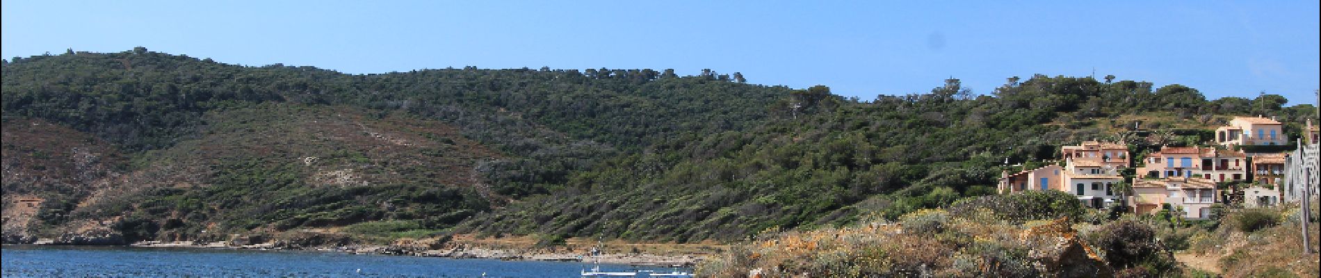
Voilà une randonnée dans la belle région du var . Au départ du camping les tournels pour une randonnée sur le littoral pour aller au cap de Camaratet sont sémaphore .une belle randonnée avec la grand bleu comme toile de fond


On foot
Walking
Electric bike

Mountain bike
Electric bike
Mountain bike

Walking
Walking
Walking