


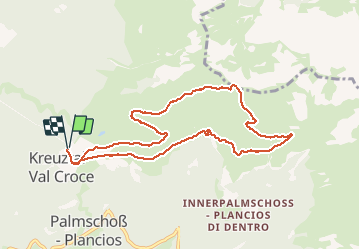


7.8 km | 12.2 km-effort

User


FREE GPS app for hiking
 SityTrail
IGN / Geographical institutes
SityTrail World
The world is yours!
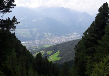
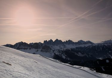
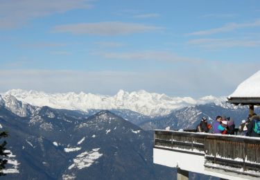
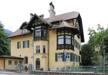
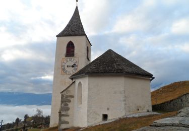
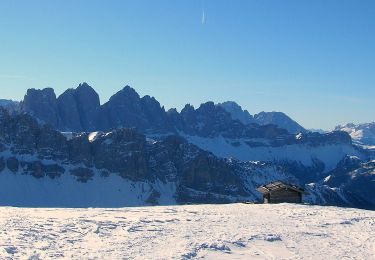
Trail Walking of 9.2 km to be discovered at Trentino-Alto Adige/Südtirol, South Tyrol, Brixen - Bressanone. This trail is proposed by VacheKiri67.
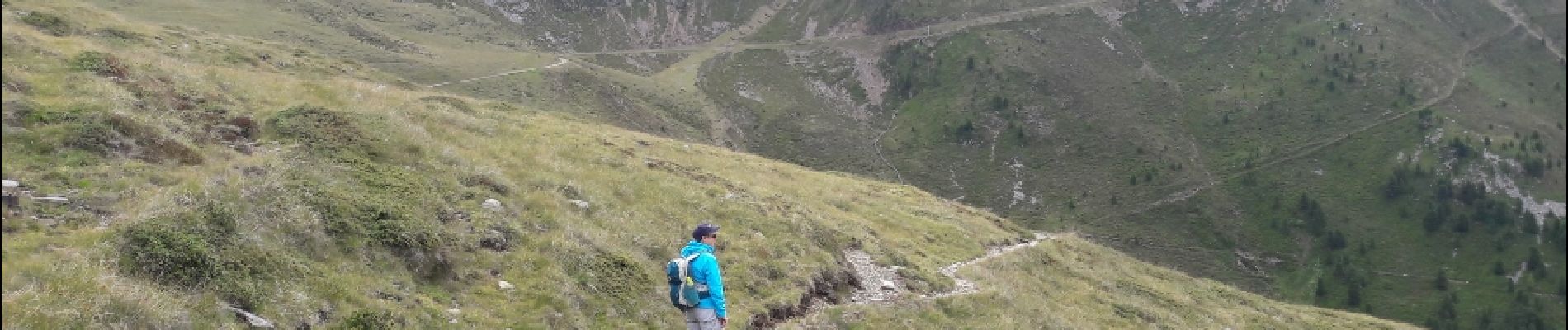
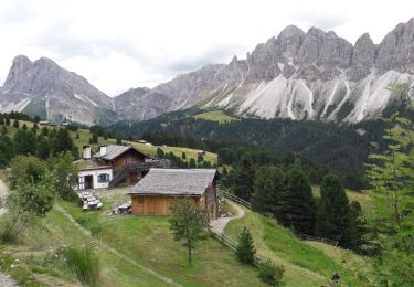
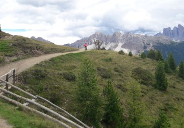
Faite le 27/07/2017 avec notre fils Théo de 12 ans.


50 photos in total. Please click on a photo to see them all in the gallery.
Walking
Walking
Walking
On foot
On foot
On foot
On foot
On foot

On foot
Parcours sympathique avec beau panorama.