


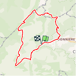

10.2 km | 17.1 km-effort


User


FREE GPS app for hiking
 SityTrail
IGN / Geographical institutes
SityTrail World
The world is yours!
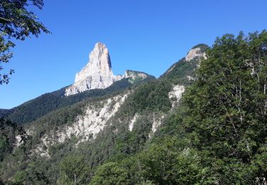
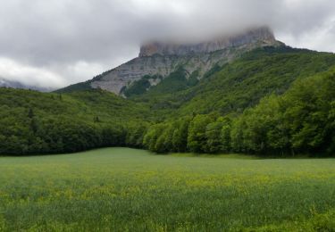
Trail Walking of 20 km to be discovered at Auvergne-Rhône-Alpes, Isère, Chichilianne. This trail is proposed by lerouge8726.
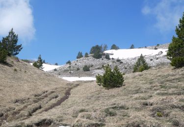
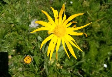
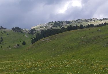
La seule reelle difficulté de cette magnifique ballade sauvage c'est la longueur. Le denivellé se fait par petit bout et ne se sent pas. Attention une grande partie se fait sur des sentes à peine visible, il est facile de se perdre dans ce coin, ne pas tenter par mauvais temps ou risque de brouillard. Option: monter sur Montaveilla, superbe vue à 360, 30m.
Walking

Walking

Snowshoes
Walking
Walking
Walking
Walking
On foot
On foot