


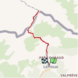


6.5 km | 13.7 km-effort

User GUIDE


FREE GPS app for hiking
 SityTrail
IGN / Geographical institutes
SityTrail World
The world is yours!
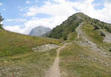
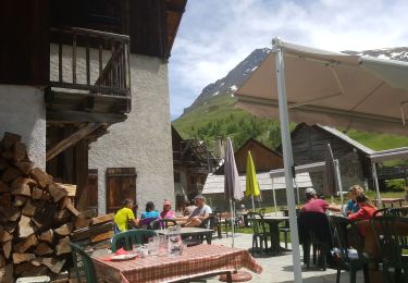
Trail Walking of 16.5 km to be discovered at Provence-Alpes-Côte d'Azur, Hautes-Alpes, Abriès-Ristolas. This trail is proposed by amiral13.
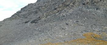
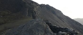
en fin de saison l'itinéraire est évident; cela ne doit pas être le cas en début de saison et la difficulté peut-être augmentée par la présence de neige.


Walking

Walking

Walking
Walking
Walking

Walking
Walking

Walking
Electric bike