


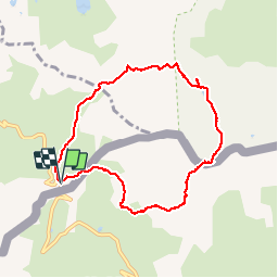


13.1 km | 23 km-effort

User GUIDE


FREE GPS app for hiking
 SityTrail
IGN / Geographical institutes
SityTrail World
The world is yours!
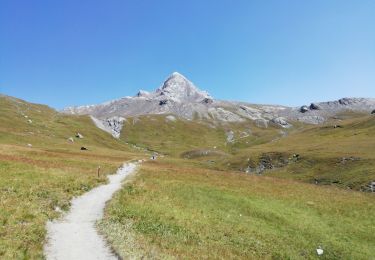
Trail Walking of 8.1 km to be discovered at Provence-Alpes-Côte d'Azur, Hautes-Alpes, Molines-en-Queyras. This trail is proposed by amiral13.
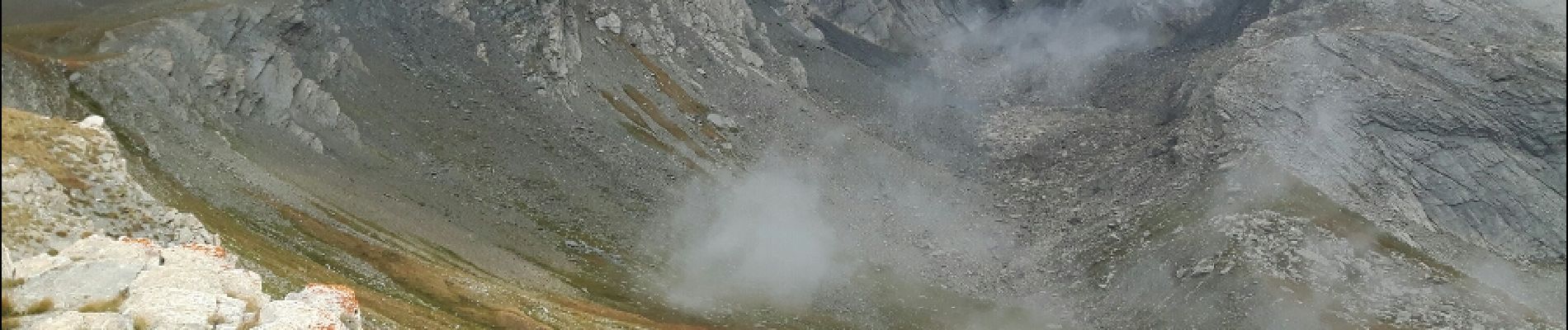
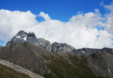
la cotation difficile est due à la partie Italienne de l'itinéraire. La descente du col d'Asti débute par un sentier bien tracé mais pas très stable et débouche sur un long chaos rocheux qu'il faut traverser à vue en suivant les cairn de proche en proche. Une fois le chaos franchi, 2 solutions s'offrent à vous 1- descendre jusqu'à la route et la suivre jusqu'au col Agnel. 2- remonter dans les pentes herbeuses de quelques dizaines de mètres de dénivelée pour ensuite rester à flanc de la pente pour rejoindre la crête d'accès au pain de sucre; il n'existe pas de sente sauf sous la crête finale.
Toute cette partie d'itinéraire en Italie est à proscrire en cas de mauvaise visibilité.


24 photos in total. Please click on a photo to see them all in the gallery.

Walking

Walking

Walking

Walking
Walking
Walking
Walking
Walking
Walking