


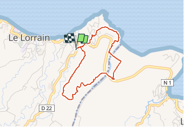

8.7 km | 12.8 km-effort


User GUIDE


FREE GPS app for hiking
 SityTrail
IGN / Geographical institutes
SityTrail World
The world is yours!
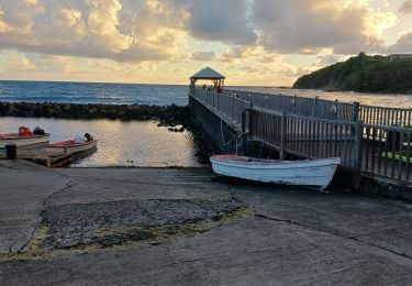
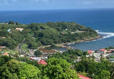
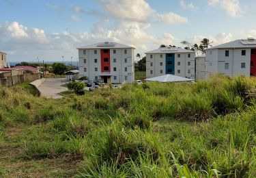
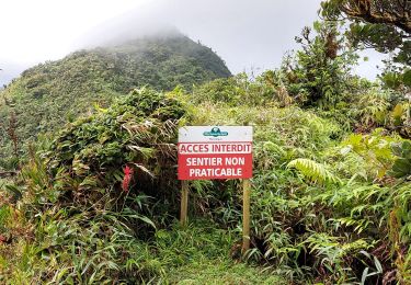
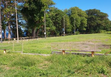
Trail Walking of 4.9 km to be discovered at Martinique, Unknown, Le Lorrain. This trail is proposed by Lamartiniere.
Marche pour les séniors. Découverte habitations Séguineau 1 et 2 - Vestiges - Rivière du Lorrain.
Walking
Walking
Walking

Walking
Walking
Walking
Walking
Walking
Walking