


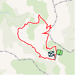

8.6 km | 18.5 km-effort

User


FREE GPS app for hiking
 SityTrail
IGN / Geographical institutes
SityTrail World
The world is yours!
Trail Walking of 9.5 km to be discovered at Provence-Alpes-Côte d'Azur, Hautes-Alpes, Gap. This trail is proposed by GILOU440.
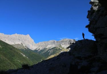
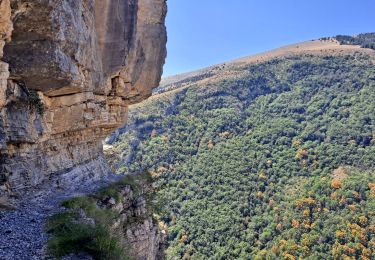
très beau circuit.
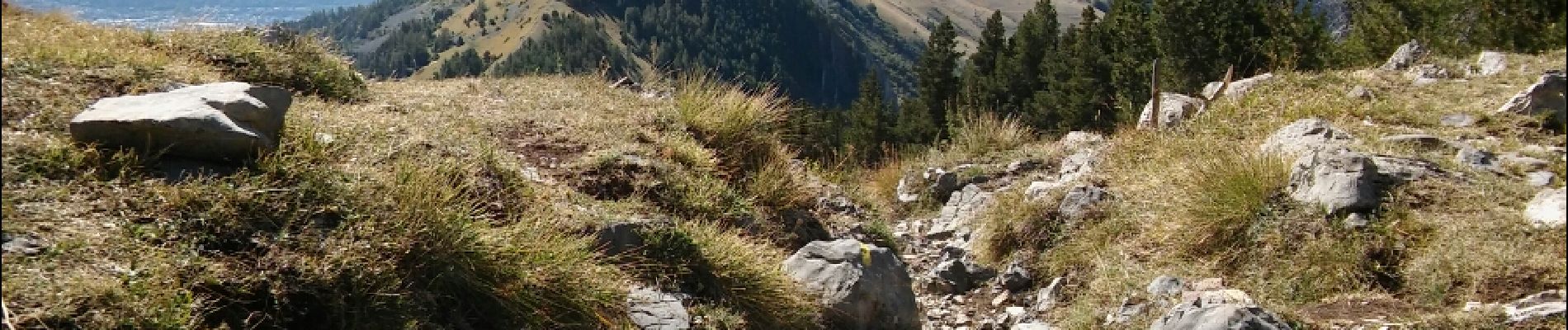
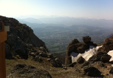
un peu de rochers
retour sentier balcon magnifique.


Walking
On foot
Walking
Walking
Walking

Walking
Walking

Walking
Walking