


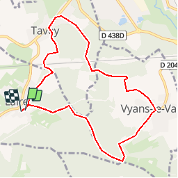

12 km | 16.4 km-effort


FREE GPS app for hiking
 SityTrail
IGN / Geographical institutes
SityTrail World
The world is yours!
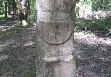
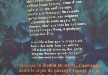
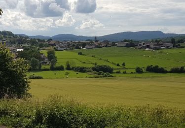
Trail Walking of 9.2 km to be discovered at Bourgogne-Franche-Comté, Doubs, Laire. This trail is proposed by michel.gerwig@gmail.com.
Walking

Walking
Walking
Walking
Mountain bike
Mountain bike
Walking
Walking
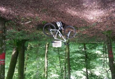
Mountain bike