


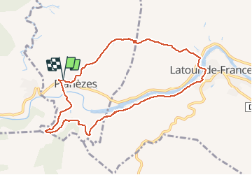

12.6 km | 17 km-effort

User


FREE GPS app for hiking
 SityTrail
IGN / Geographical institutes
SityTrail World
The world is yours!
Trail Walking of 9.9 km to be discovered at Occitania, Pyrénées-Orientales, Planèzes. This trail is proposed by Richard68500.
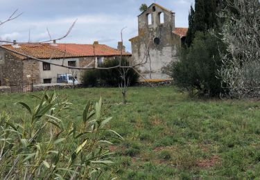
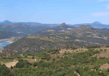
Dans un paysage de vignoble au-dessus de l'AGLY entre Rasigueres et Latour-de-France dans les Pyrénées-Orientales.
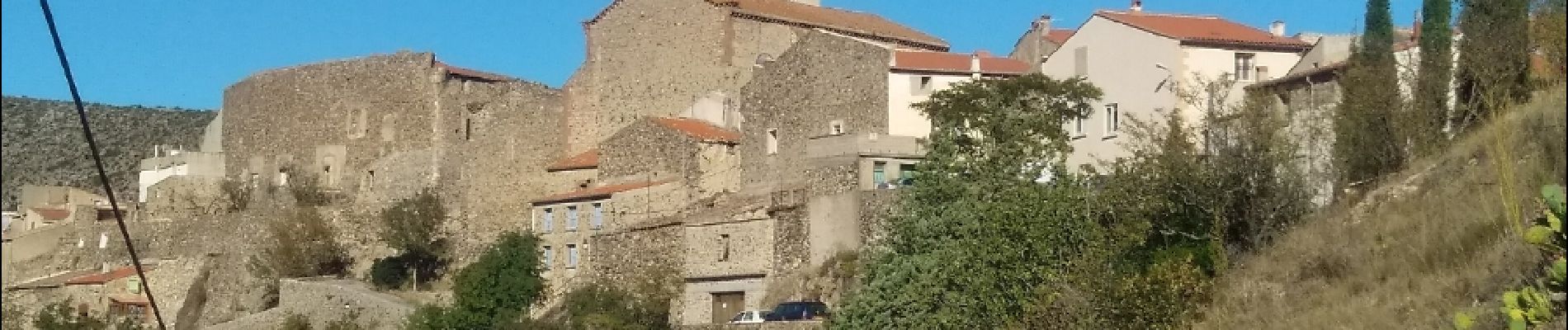
 - Photo 1")
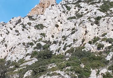
 - Photo 2")
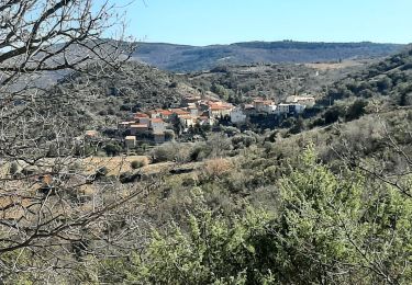
 - Photo 3")
 - Photo 4")
 - Photo 5")
 - Photo 6")
Walking

Walking
Walking
Walking
Walking
Walking

Walking

Walking

Walking