


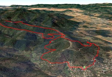
13.5 km | 21 km-effort

User GUIDE


FREE GPS app for hiking
 SityTrail
IGN / Geographical institutes
SityTrail World
The world is yours!
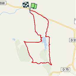
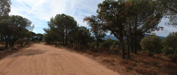
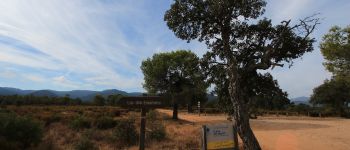
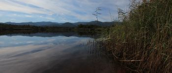
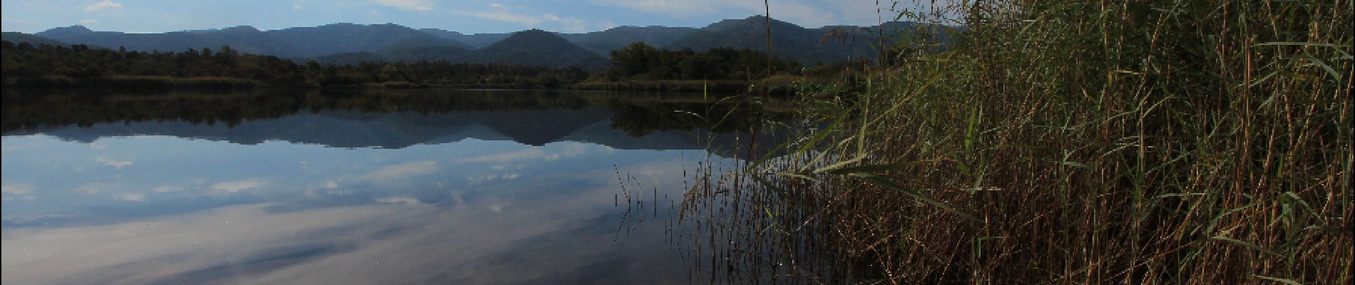
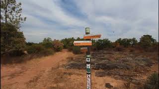
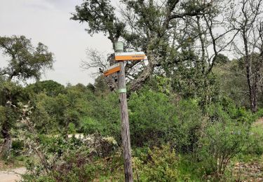
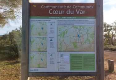
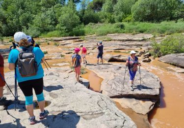
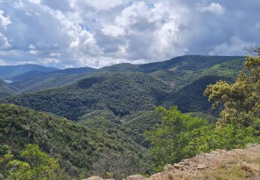
Trail Walking of 8.3 km to be discovered at Provence-Alpes-Côte d'Azur, Var, Le Cannet-des-Maures. This trail is proposed by pascalou73.
Voilà une belle randonnée dans la plane des Maures dans la belle région du var .Avec comme décore sur cette randonnée des forêts de pins avec une vue sur un très beau lac .bonne rando


Walking

Walking
Walking
Walking
Walking
Walking
Walking
Walking
Road bike