


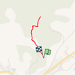

10.9 km | 13.6 km-effort

User


FREE GPS app for hiking
 SityTrail
IGN / Geographical institutes
SityTrail World
The world is yours!
Trail Walking of 2.6 km to be discovered at Provence-Alpes-Côte d'Azur, Hautes-Alpes, Aspres-sur-Buëch. This trail is proposed by Dervalmarc.
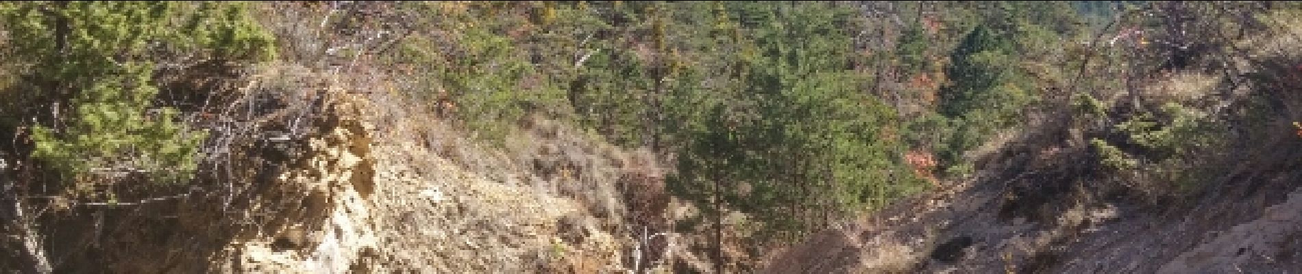
Rando/ballade dans les marnes de l'adret de Saumelonge sous la montagne de Marjaries.


Mountain bike

Mountain bike

Mountain bike

Mountain bike

Mountain bike

Walking

Walking

Walking
Walking