


17.1 km | 25 km-effort


User


FREE GPS app for hiking
 SityTrail
IGN / Geographical institutes
SityTrail World
The world is yours!
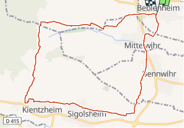
Trail Walking of 11.6 km to be discovered at Grand Est, Haut-Rhin, Beblenheim. This trail is proposed by Schnacka.
Beau circuit à travers le vignoble sous-vosgien et de magnifiques vues sur la plaine d'Alsace, Colmar et la vallée de Kaysersberg


Walking

Mountain bike

Walking
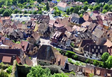
Walking

Horseback riding

Walking
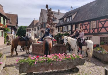
Horseback riding

Walking
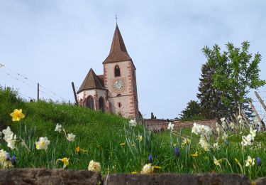
Walking