5.9 km | 8.2 km-effort
Du col Lebraud
GILOU440
User
Length
11.8 km
Max alt
1551 m
Uphill gradient
533 m
Km-Effort
18.9 km
Min alt
1039 m
Downhill gradient
537 m
Boucle
Yes
Creation date :
2018-04-17 12:57:06.803
Updated on :
2018-04-17 12:57:06.803
3h49
Difficulty : Easy
FREE GPS app for hiking
About
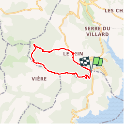
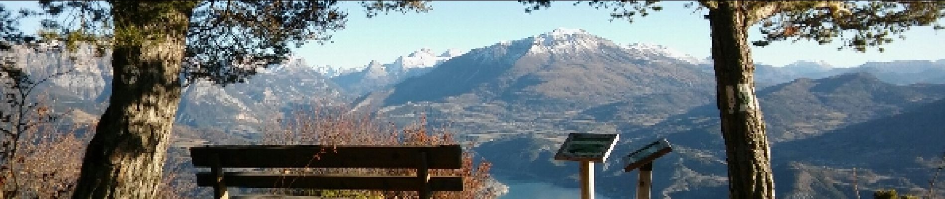
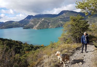
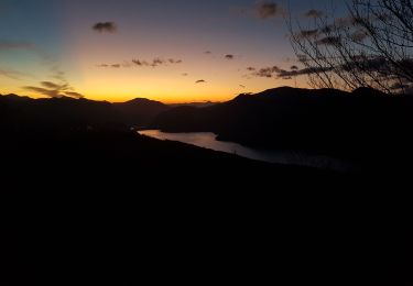
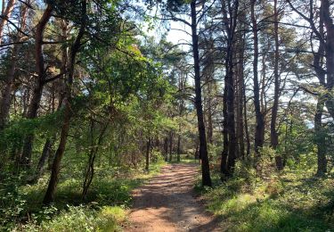
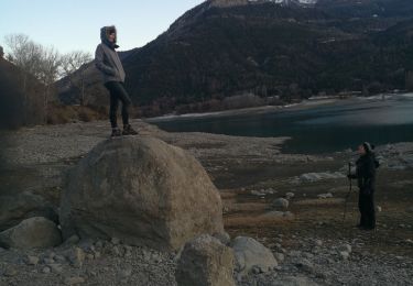
Trail Walking of 11.8 km to be discovered at Provence-Alpes-Côte d'Azur, Hautes-Alpes, Chorges. This trail is proposed by GILOU440.
Description
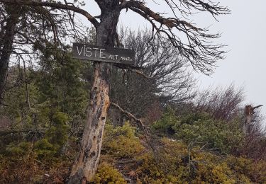
le col.le fein.champ du comte. clôt clavary. le ruban. serre des renards.
Positioning
Country:
France
Region :
Provence-Alpes-Côte d'Azur
Department/Province :
Hautes-Alpes
Municipality :
Chorges
Location:
Unknown
Start:(Dec)
Start:(UTM)
284075 ; 4931696 (32T) N.
Comments
Trails nearby
Chanteloube et lac de Serre Ponçon
Walking
Very easy
(2)
Chorges,
Provence-Alpes-Côte d'Azur,
Hautes-Alpes,
France
1h 47min
Yes
clôt c l'avais sur fein
Walking
Very easy
(2)
Chorges,
Provence-Alpes-Côte d'Azur,
Hautes-Alpes,
France
8 km | 12.6 km-effort
2h 24min
Yes
Montagne du Ruban
Walking
Easy
(2)
Chorges,
Provence-Alpes-Côte d'Azur,
Hautes-Alpes,
France
11 km | 17.4 km-effort
3h 39min
No
Balcons du lac Taïga
Walking
Easy
Le Sauze-du-Lac,
Provence-Alpes-Côte d'Azur,
Hautes-Alpes,
France
7.5 km | 11.1 km-effort
3h 12min
Yes
Coquille familiale
Walking
Easy
Le Sauze-du-Lac,
Provence-Alpes-Côte d'Azur,
Hautes-Alpes,
France
10.3 km | 17.4 km-effort
3h 16min
Yes
CHORGES camping clé des champs Cantheloube retour par le nord
Walking
Easy
Chorges,
Provence-Alpes-Côte d'Azur,
Hautes-Alpes,
France
8.7 km | 12.1 km-effort
2h 44min
Yes
AR chez Alain 090622
Walking
Very easy
Le Sauze-du-Lac,
Provence-Alpes-Côte d'Azur,
Hautes-Alpes,
France
5.1 km | 7.4 km-effort
1h 58min
Yes
Adroit de Pontis 070122
Walking
Very easy
Le Sauze-du-Lac,
Provence-Alpes-Côte d'Azur,
Hautes-Alpes,
France
10.8 km | 15.9 km-effort
3h 58min
No
La Viste
Walking
Medium
Rousset,
Provence-Alpes-Côte d'Azur,
Hautes-Alpes,
France
5.6 km | 10.4 km-effort
1h 50min
Yes