


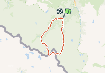

11.4 km | 17.5 km-effort


User


FREE GPS app for hiking
 SityTrail
IGN / Geographical institutes
SityTrail World
The world is yours!
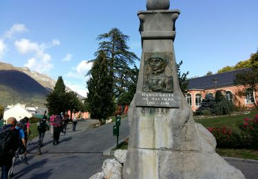
Trail Walking of 24 km to be discovered at Occitania, Hautespyrenees, Cauterets. This trail is proposed by Polo-31.
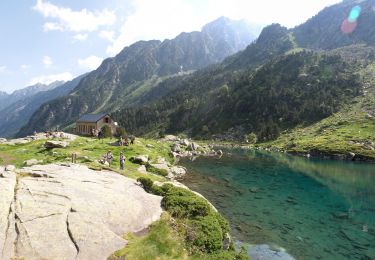
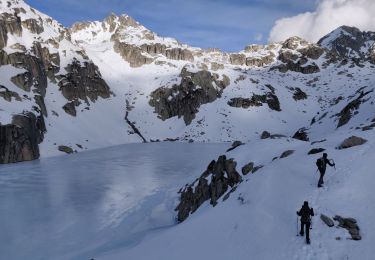
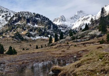
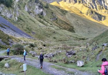
Depuis le Pont d'Espagne, remonter la vallée du Marcadau jusqu'au col d'Arratille, basculer vers le Col des Mullets et descendre la vallée de Gaube.
Walking

Walking

Walking
Walking
Walking
Walking

Walking
Walking
Walking