


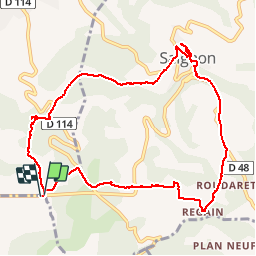


51 km | 61 km-effort

User


FREE GPS app for hiking
 SityTrail
IGN / Geographical institutes
SityTrail World
The world is yours!
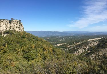
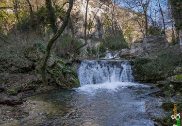
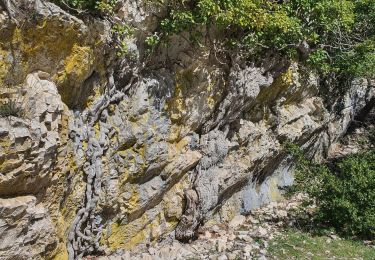
Trail Walking of 10.8 km to be discovered at Provence-Alpes-Côte d'Azur, Vaucluse, Saignon. This trail is proposed by kephas.
Boucle agrémentée de beaux paysages et de magnifiques bories.
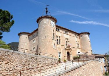
Visite de Saignon


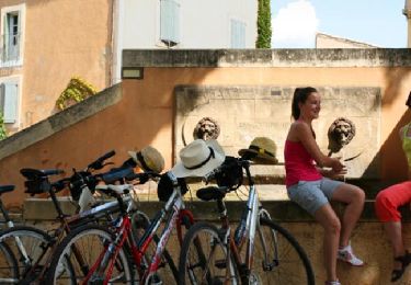
Cycle

Walking
Cycle
Walking
Walking
Walking

Walking

Walking

Running
Randonnée agréable