


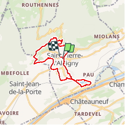

13.9 km | 29 km-effort


User


FREE GPS app for hiking
 SityTrail
IGN / Geographical institutes
SityTrail World
The world is yours!
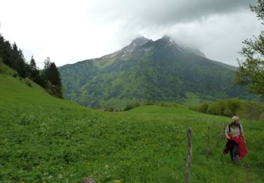
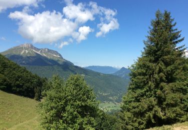
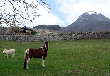
Trail Walking of 13.2 km to be discovered at Auvergne-Rhône-Alpes, Savoy, Saint-Pierre-d'Albigny. This trail is proposed by Bogapuki.
13-01-2018
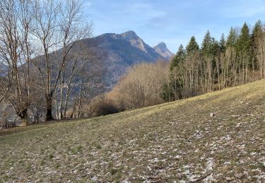
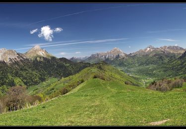
Rando facile, quoi qu'un peu longue. Magnifiques panoramas sur la vallée, le massif de la Lauzière, le Grand Arc...

Walking

Walking
Walking
Walking
Walking
Walking
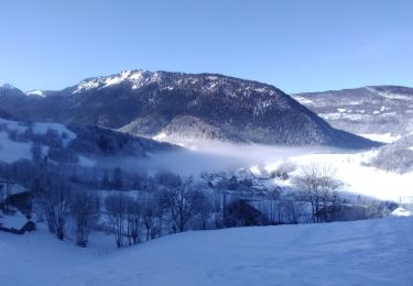
Touring skiing
Walking
Walking